


… asked m0lt3n in one of the threads here few months back. Now, I know nothing about Kathu - only passed through the place once or twice on the way somewhere else - but still found the statement very odd. For number of reasons:
I have ridden bits and pieces of the area before so felt pretty confident about my position, but just to be sure I cranked up Google maps and checked the satellite imagery of the southern Botswana between Tshabong and Botspits - south of Kgalagadi NP, where I suspected the best riding potential may be. And I struck gold straight away - just two of many great samples here:
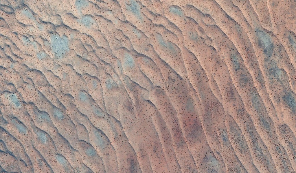
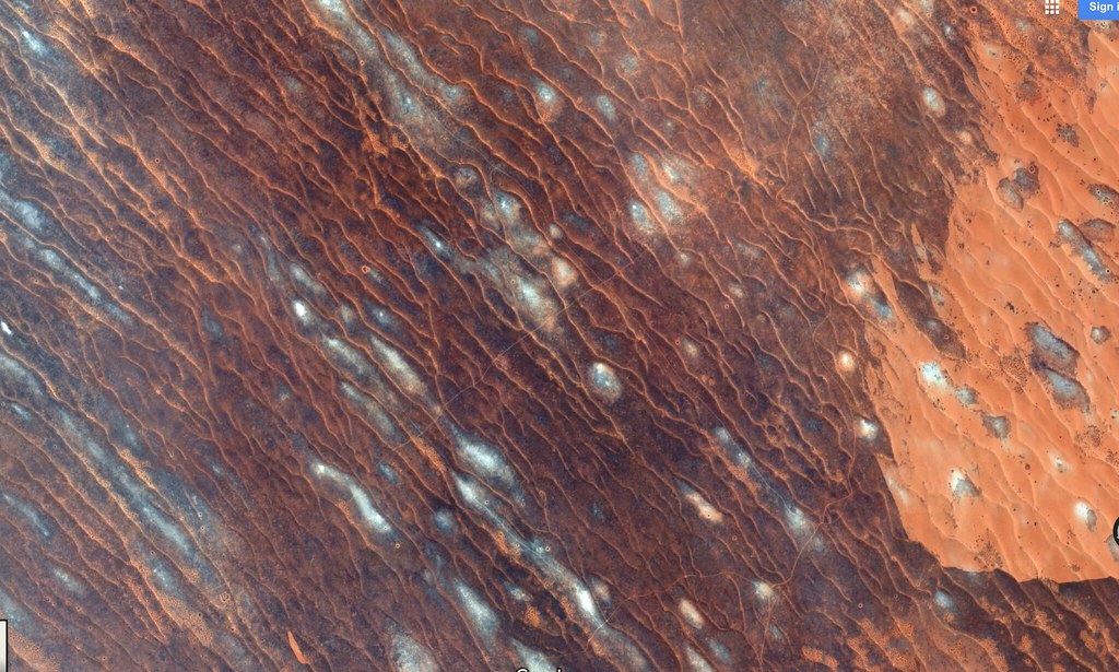
Basically, there are 100s of kms of dunes waiting to be ridden that at least from satellite images closely resemble that Ozzie dual sport benchmark - Simpson desert. Except these may have lions running about. Satisfied I replied to m0lt3n in detail outlining wrongness of his position, and moved on.
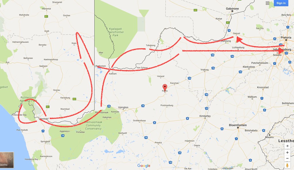
But what was seen cannot be unseen. Plus, I sorely needed to get out of the house as I haven’t ridden since last July when I broke leg in Swaziland. So those dune images were all I needed to mobilize for a trip and within day or two I was plotting double tracks through those dunes on the Google satellite images. I wasn’t keen just to ride to the dunes from Joburg and then retrace back the same way (though the ride on the dirt along the Bots border and Molopo river is alright). So I decided to push on further west and finally ride the Namaqua 4x4 Eco trail (which I always wanted to ride and tried for before, but failed, when my bike died on me in Pofadder) to Vioolsdrift. From there I would explore around Richtersveld a bit and then return back through southern Namibia, and then retrace back on the dirt along Bots border. Something like this:
I gave a shout to my usual riding compadre Bertie (Straatkat here on WD), and he was keen to join as he hasn’t been on a proper DS trip for a long time either. Not being particularly superstitious we agreed to depart on Saturday, 1st of April, which as these things work turned the departure into a bit of a April fools joke. I was more or less ready on Friday, when Bertie called that the radiator on his TE610 leaked from the accident almost a year ago when he tried to park his bike in the garage, and somehow ended up with the bike stuck under his Subaru. Luckily our other Husky riding buddy TK had a spare radiator, but Bertie needed Saturday to get everything ready. So we postponed departure till 12:00 pm on Sunday 2nd. On Saturday evening Bertie called again - the bike was ready, but the license disk was expired. So no chance to leave on Sunday as he wouldn’t make it across the borders.
We moved departure again to the Monday April 3rd. Bertie’s wife Melinda will sort out the license disk in the morning and bring it to the meeting point, and we will be off after that. That finally settled it - or so we thought.
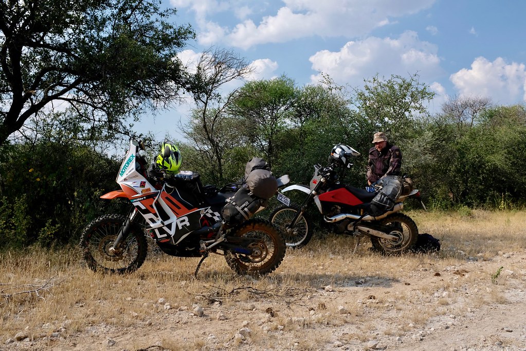
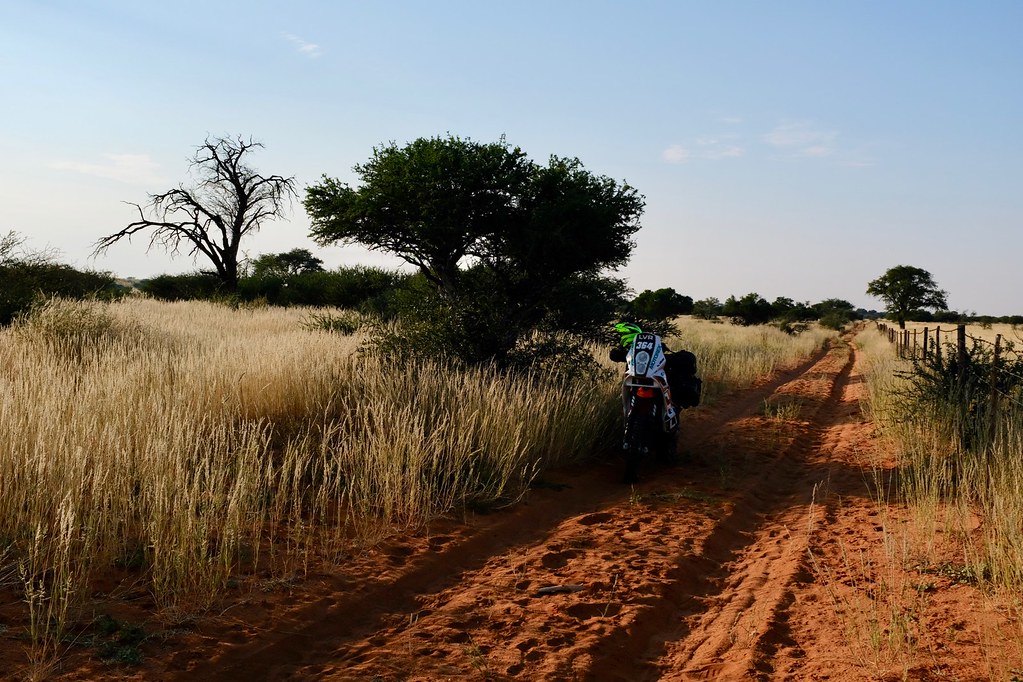
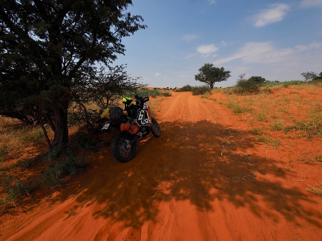
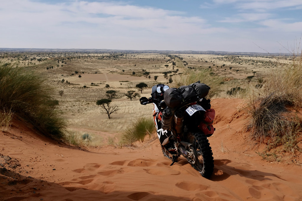
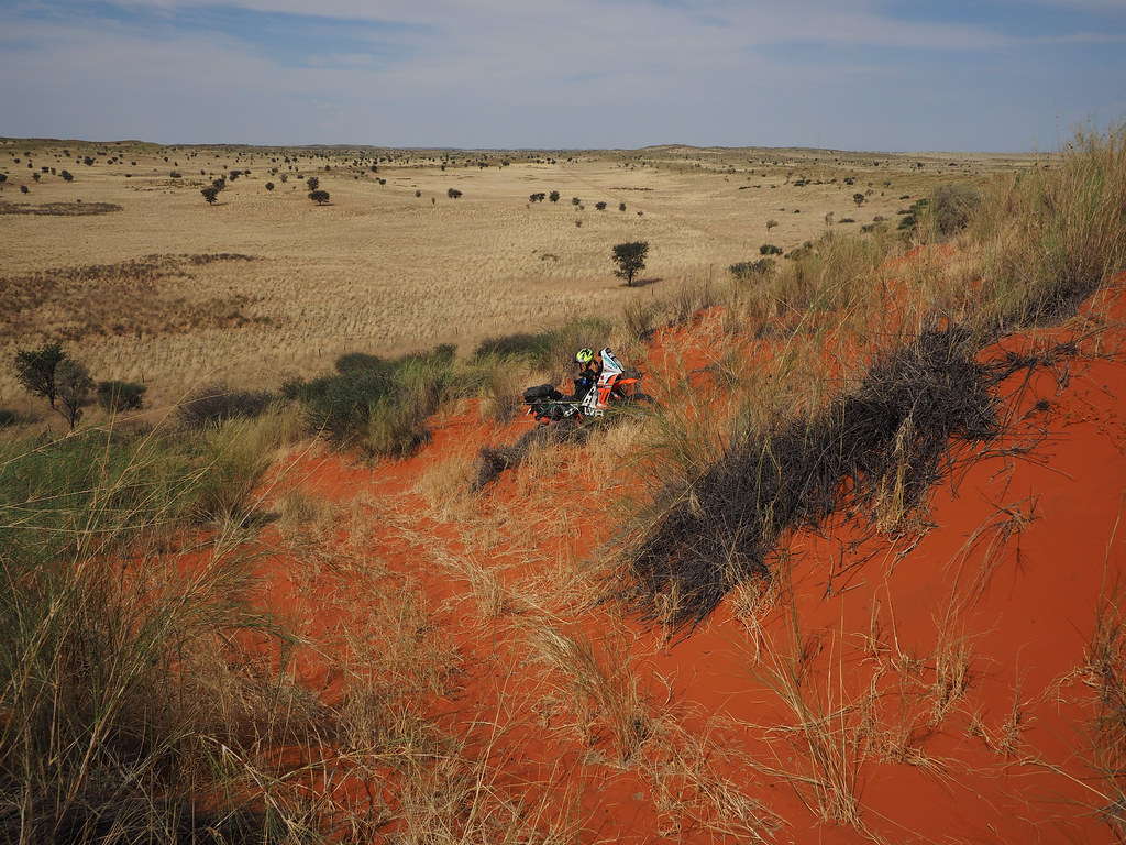
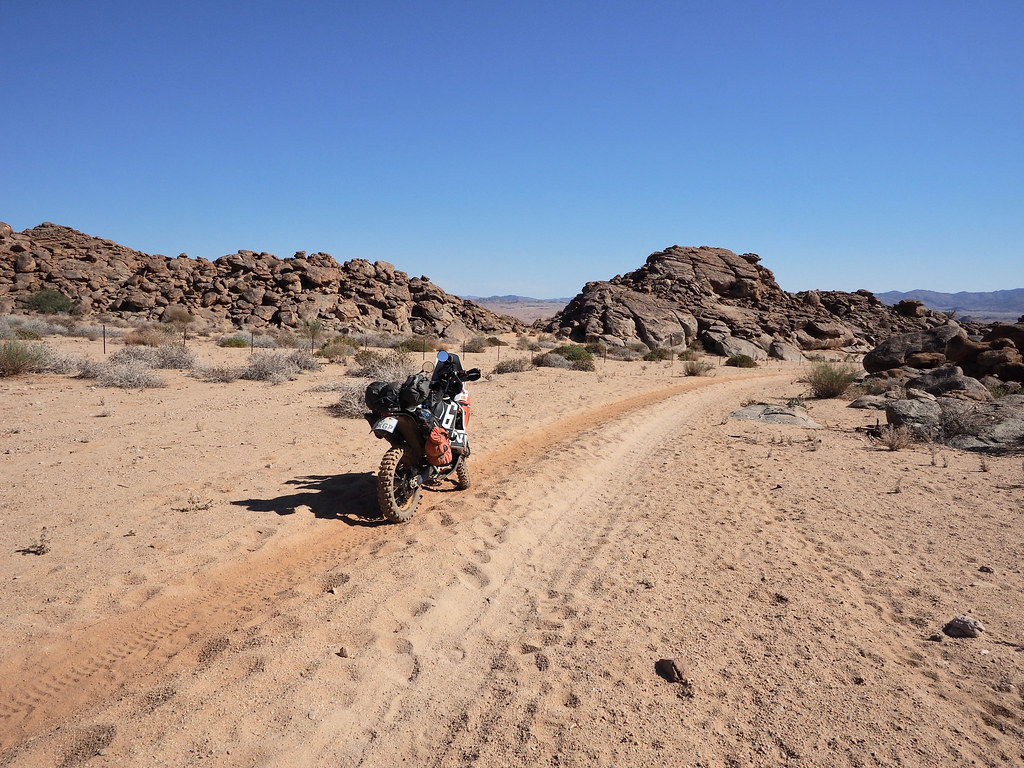
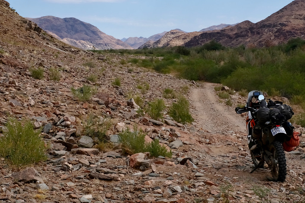
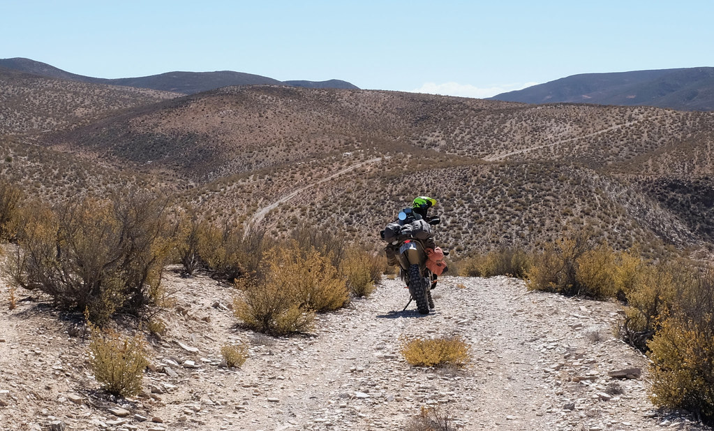
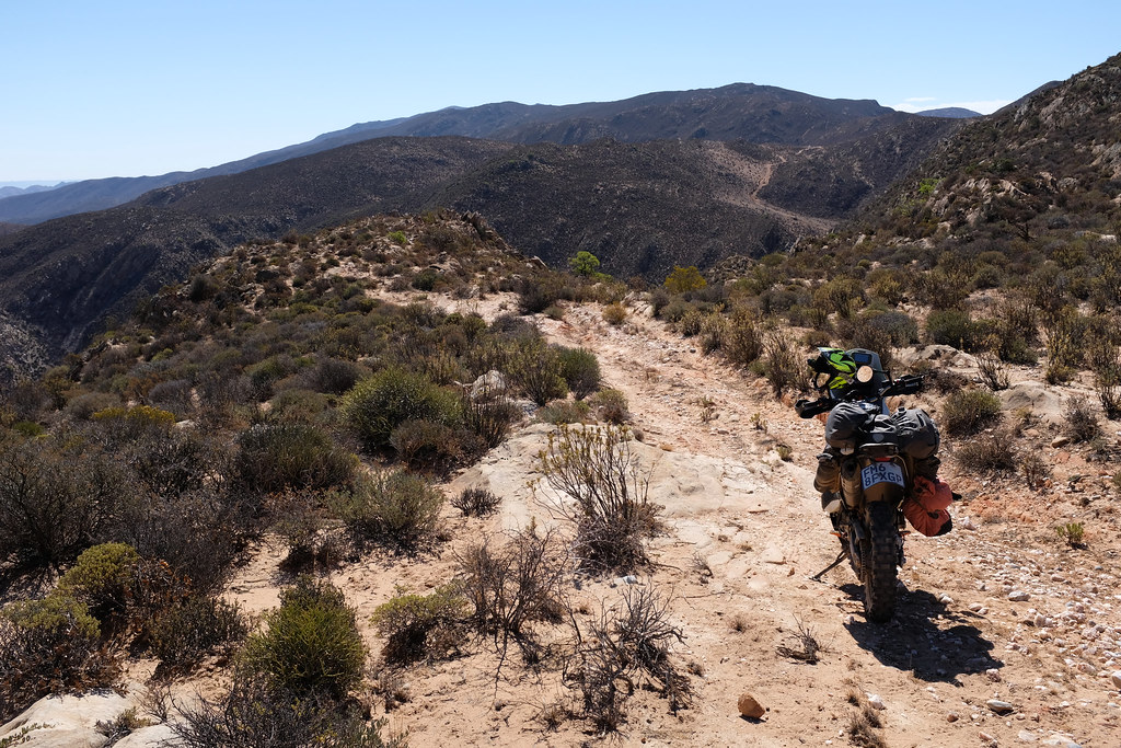
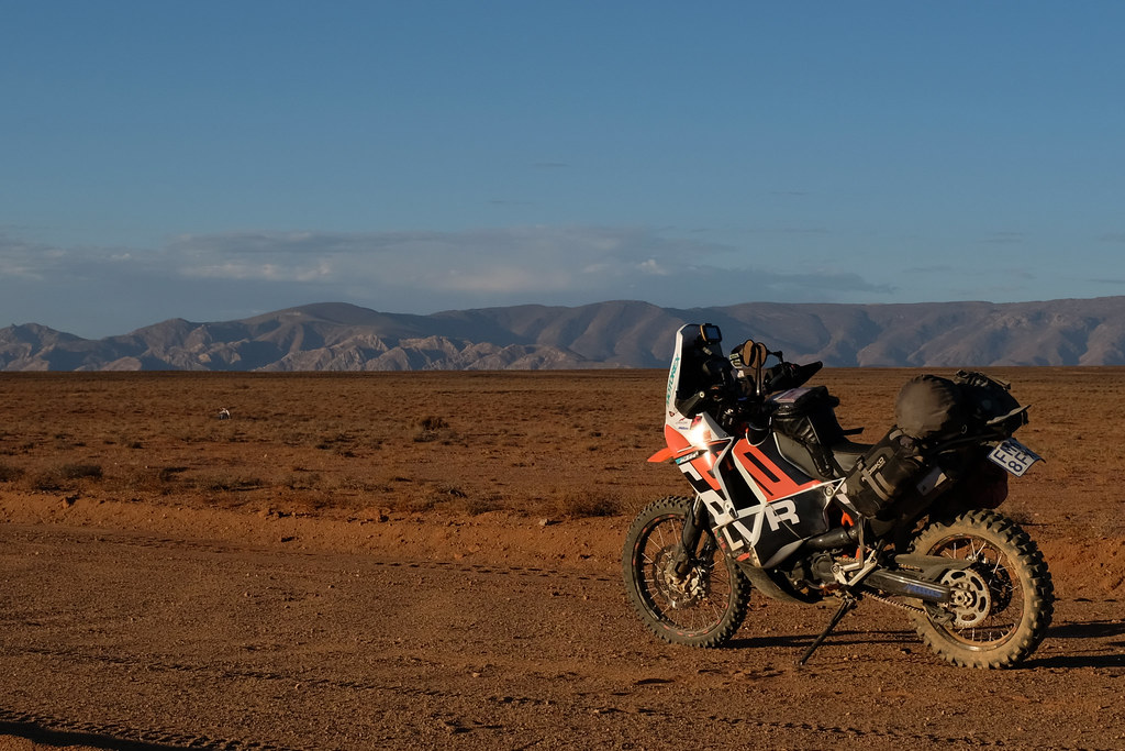
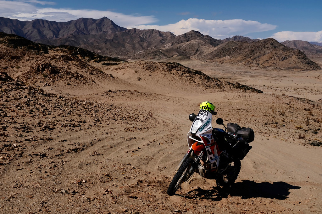
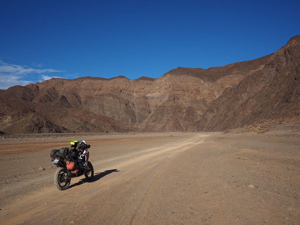
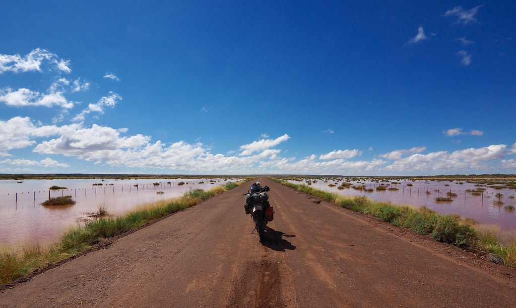
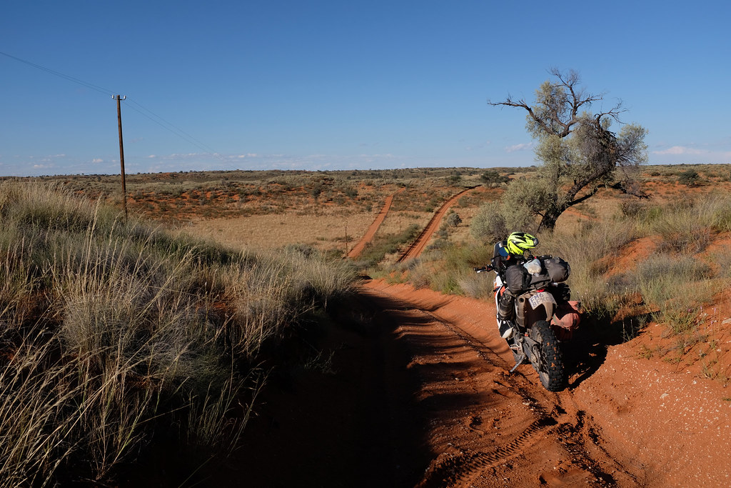
Few pics to whet the appetite:
- The place sits right on the border of Kalahari, and what better place to ride?
- Southern Botswana with its predominantly public land (and hence almost unlimited proper offroad riding potential) is close by and easily accessible.
- Southern Namibia with more sand and gravel riding opportunities not too far away.
- Northern Cape and the best desert riding in SA rivalling some of the best Namibia has to offer - Namaqua 4x4 Eco Trail and Richtersveld and surrounds - within easy reach.
- Amageza runs in the area every year - surely there is a good reason for that.
I have ridden bits and pieces of the area before so felt pretty confident about my position, but just to be sure I cranked up Google maps and checked the satellite imagery of the southern Botswana between Tshabong and Botspits - south of Kgalagadi NP, where I suspected the best riding potential may be. And I struck gold straight away - just two of many great samples here:
Basically, there are 100s of kms of dunes waiting to be ridden that at least from satellite images closely resemble that Ozzie dual sport benchmark - Simpson desert. Except these may have lions running about. Satisfied I replied to m0lt3n in detail outlining wrongness of his position, and moved on.
But what was seen cannot be unseen. Plus, I sorely needed to get out of the house as I haven’t ridden since last July when I broke leg in Swaziland. So those dune images were all I needed to mobilize for a trip and within day or two I was plotting double tracks through those dunes on the Google satellite images. I wasn’t keen just to ride to the dunes from Joburg and then retrace back the same way (though the ride on the dirt along the Bots border and Molopo river is alright). So I decided to push on further west and finally ride the Namaqua 4x4 Eco trail (which I always wanted to ride and tried for before, but failed, when my bike died on me in Pofadder) to Vioolsdrift. From there I would explore around Richtersveld a bit and then return back through southern Namibia, and then retrace back on the dirt along Bots border. Something like this:
I gave a shout to my usual riding compadre Bertie (Straatkat here on WD), and he was keen to join as he hasn’t been on a proper DS trip for a long time either. Not being particularly superstitious we agreed to depart on Saturday, 1st of April, which as these things work turned the departure into a bit of a April fools joke. I was more or less ready on Friday, when Bertie called that the radiator on his TE610 leaked from the accident almost a year ago when he tried to park his bike in the garage, and somehow ended up with the bike stuck under his Subaru. Luckily our other Husky riding buddy TK had a spare radiator, but Bertie needed Saturday to get everything ready. So we postponed departure till 12:00 pm on Sunday 2nd. On Saturday evening Bertie called again - the bike was ready, but the license disk was expired. So no chance to leave on Sunday as he wouldn’t make it across the borders.
We moved departure again to the Monday April 3rd. Bertie’s wife Melinda will sort out the license disk in the morning and bring it to the meeting point, and we will be off after that. That finally settled it - or so we thought.
Few pics to whet the appetite: