


Boerbok
Race Dog
- Joined
- Oct 30, 2007
- Messages
- 921
- Reaction score
- 582
- Location
- Melbourne
- Bike
- Honda CRF-1000L Africa Twin
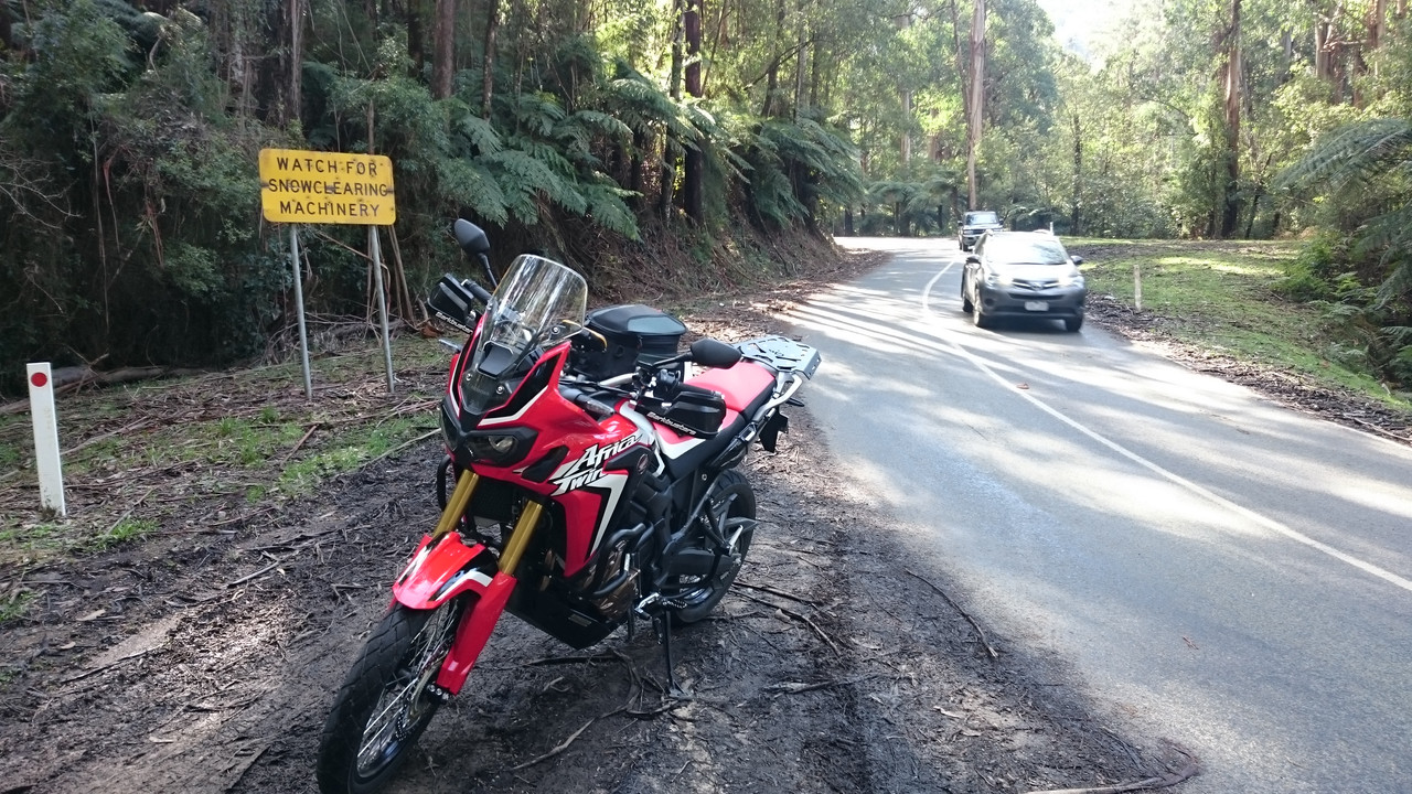
I live just south of the foothills of the Yarra Ranges, about 60km east of Melbourne. This is at the edge of a vast expanse of mountain wilderness known as the Victorian Alps.
https://en.m.wikipedia.org/wiki/Victorian_Alps
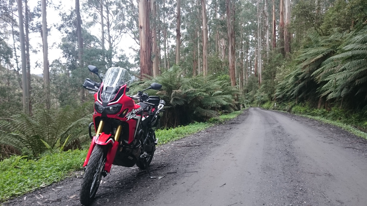
Ek werk in die groot stad, en die Africa Twin word gewoonlik afgeskeep tydens die week. As die naweek kom en die weer is goed, dan vat ek die pad berge toe, so 2 ure op ‘n slag.
Dis my manier om die reset knoppie te druk... :ricky:
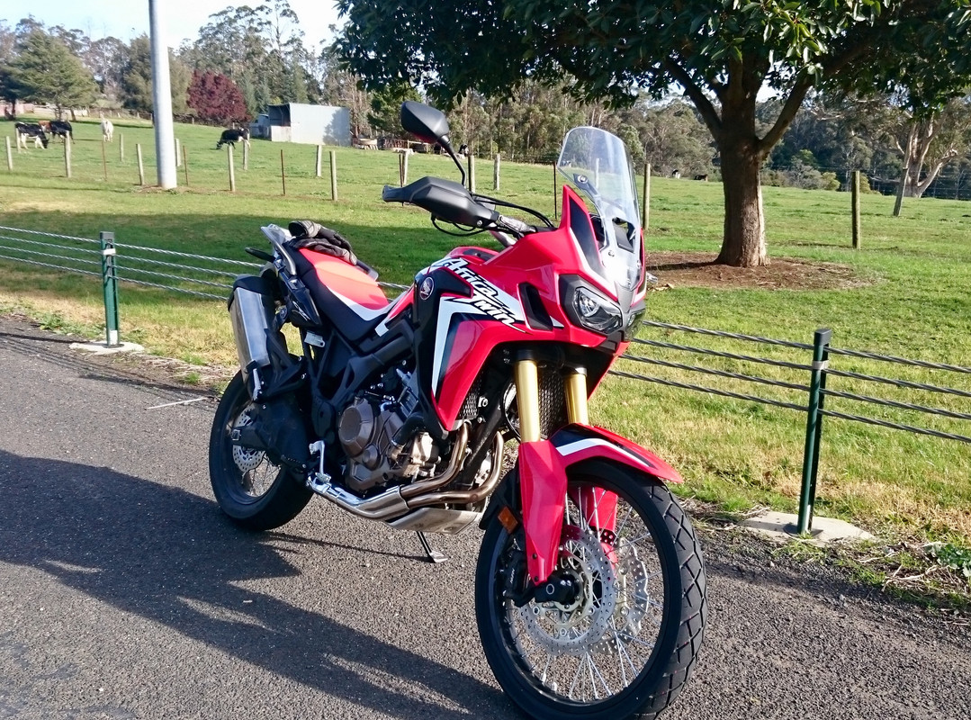
New bike, Jul 2017. Best feeling in the world!
Snow is common in winter if you venture deeper into the mountains.
This ride turned out to be super slippery. Up to Mt Donna Buang. I need better tyres...
https://en.m.wikipedia.org/wiki/Victorian_Alps
Ek werk in die groot stad, en die Africa Twin word gewoonlik afgeskeep tydens die week. As die naweek kom en die weer is goed, dan vat ek die pad berge toe, so 2 ure op ‘n slag.
Dis my manier om die reset knoppie te druk... :ricky:
New bike, Jul 2017. Best feeling in the world!
Snow is common in winter if you venture deeper into the mountains.
This ride turned out to be super slippery. Up to Mt Donna Buang. I need better tyres...