


Ama ride ride
Grey Hound
I just arrived home last night from a solo 1900km roundabout work related trip to Upington. Traveling on lonely roads is always good. Good in the term that you will be spending quality time with yourself.
A very talented young woman once performed to me the Cranberries’ song titled “Zombie” Sitting close to me while she lead herself with her 12 snare guitar With my one hand on her guitar I felt the accords and with my other hand on her back to drink in her powerful voice. It was an experience I will always remember. So this song is very special to me and I played it over and over in my head…
My trip actually started in Bloemhof. I had really no idea which roads I would take. Although I did some goodle earth fly overs I decided to basically toss a coin when the roads fork. I had some errands to run and could only leave Jozi around 11. So I took the boring N14, tar all the way to Bloemhof.
Another head hangs lowly,
Child is slowly taken.
And the violence caused such silence,
Who are we mistaken?
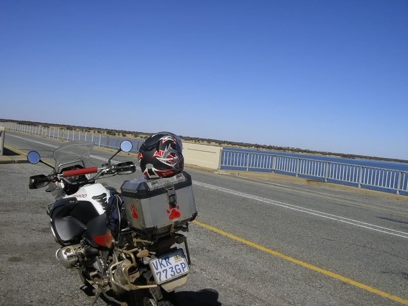
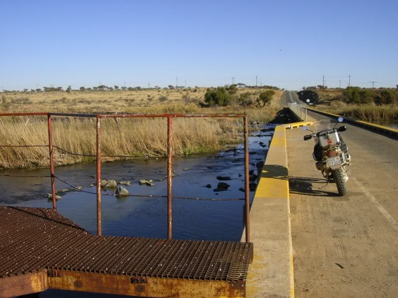
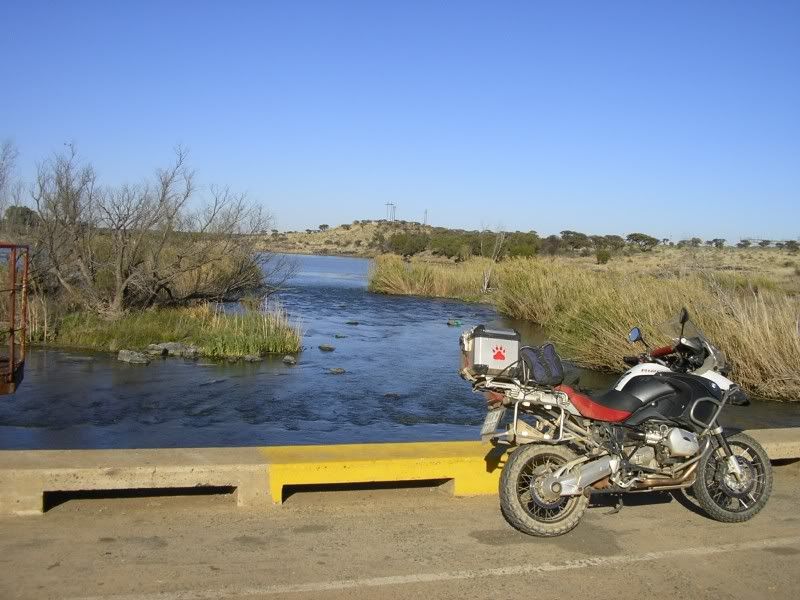
The bridge just outside Bloemhof
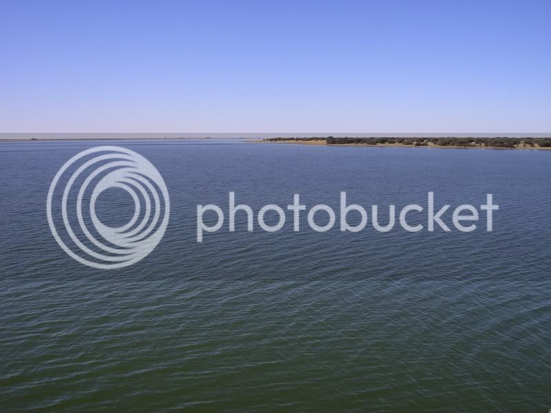
Bloemhof dam
Somewhere on the roads close to the Vaal river
My roadbike got a big bladder, not me, so I had to stop before her. This two pics was taken somewhere between Christiana and Warrenton. Did not care, did not worry, just loved it.
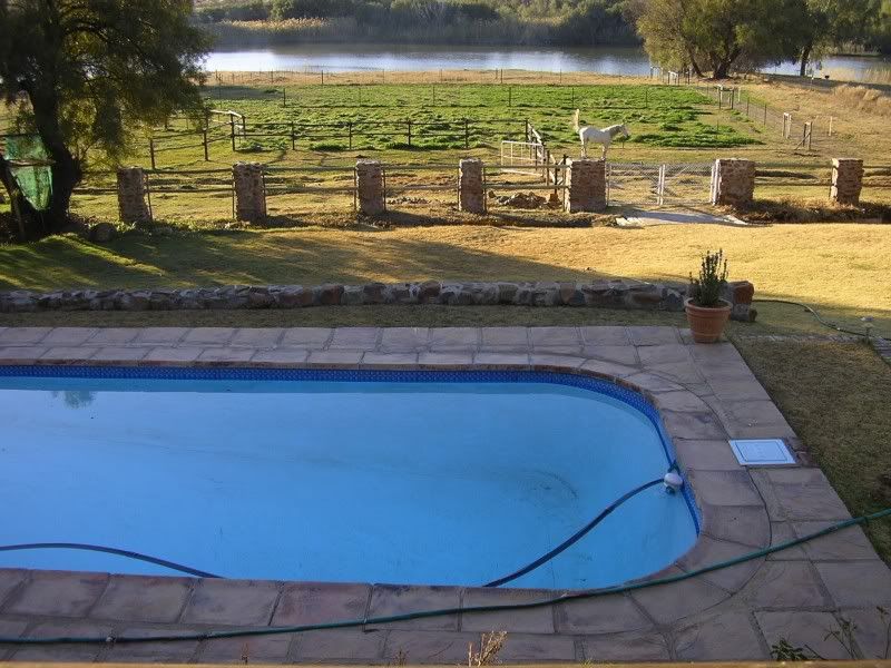
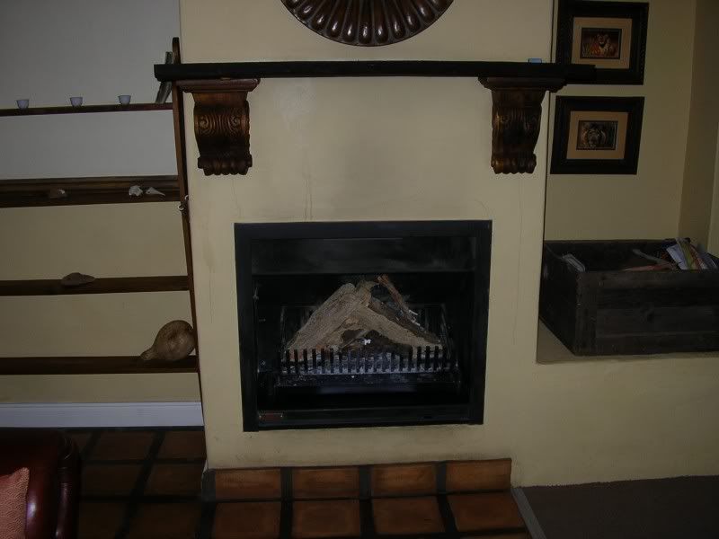
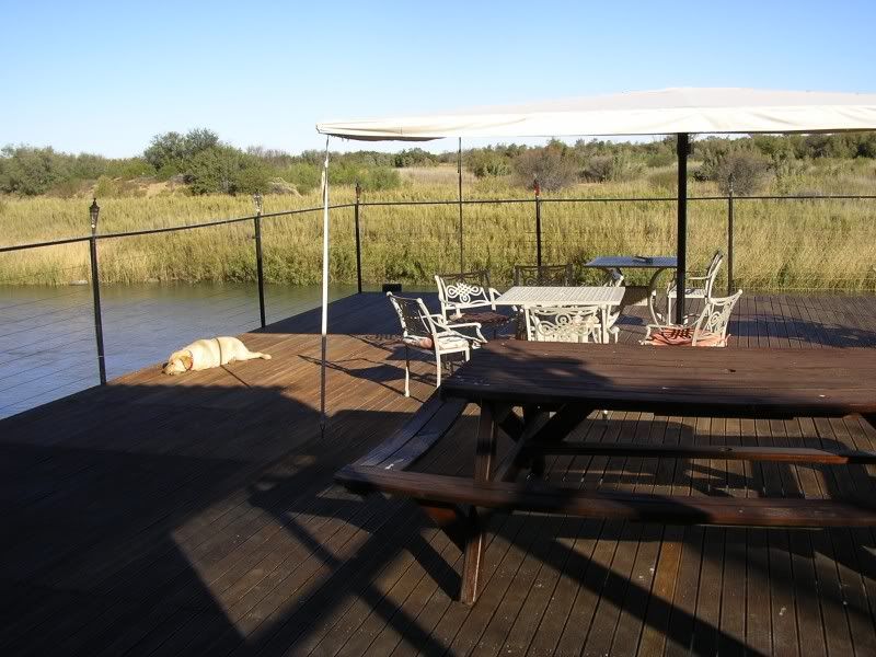
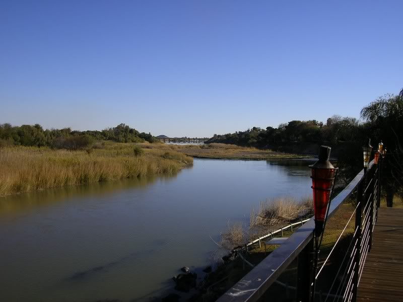
Entering Warrenton I decided to look for a B&B. Found this lekker place. For the average price of R300 I had this whole house for myself. DSTV, 6 bed, 2 bath, underfloor heating, pool, stoep with view of the Vaal.
A pool
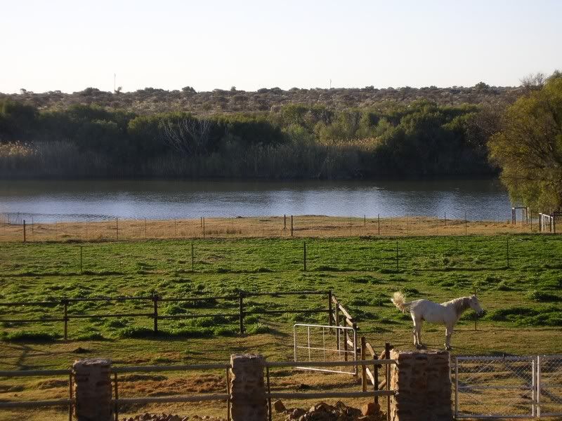
The Vaal river and a horse (you can ride it if you want. I declined.)
Nice braai
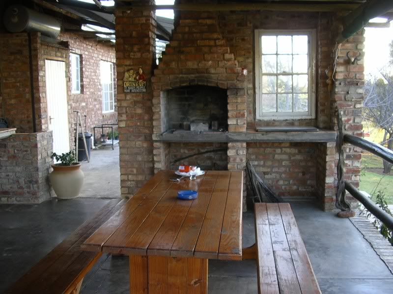
Style
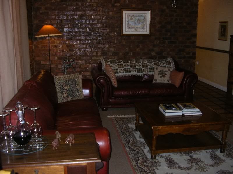
For the romantic winter nights.
Bought some take aways and polished a bottle of Durbanville Hills Bastion.
But you see, it's not me, it's not my family.
In your head, in your head they are fighting,
With their tanks and their bombs,
And their bombs and their guns.
In your head, in your head, they are crying...
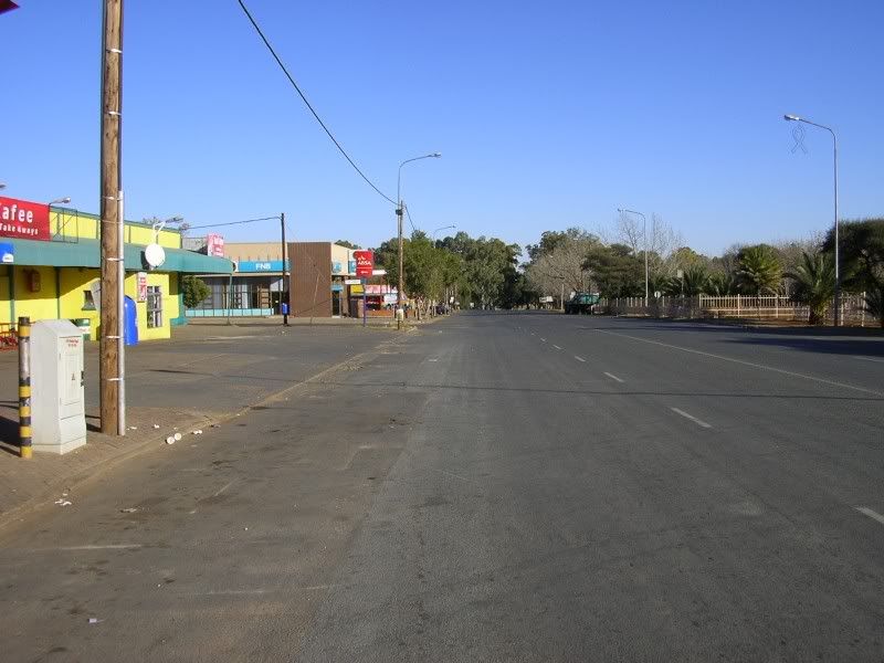
Around 9am, after breakfast, I was on my way. Warrenton was still sleeping and probably cant understand the city dwelwer’s rush. I was on a mission, I had roads to discover.
Deserted streets
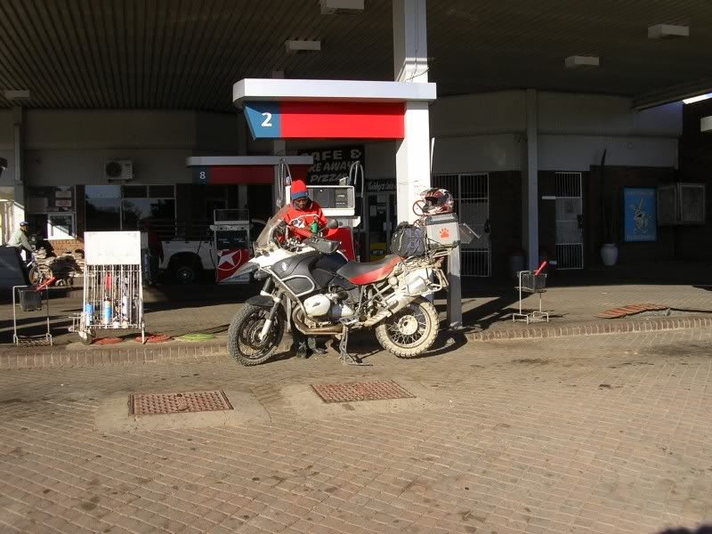
Petrol station was open
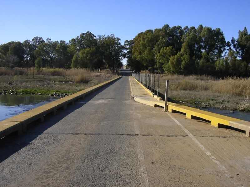
Single lane bridge just outside town.
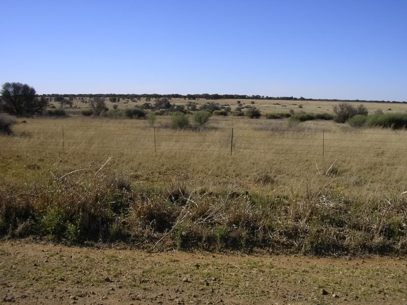
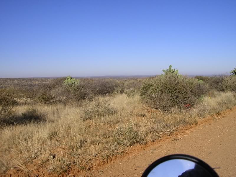
Surrounding bushlands
Who need a 3some when you have this?
North Cape’s version of the Feral Horses.
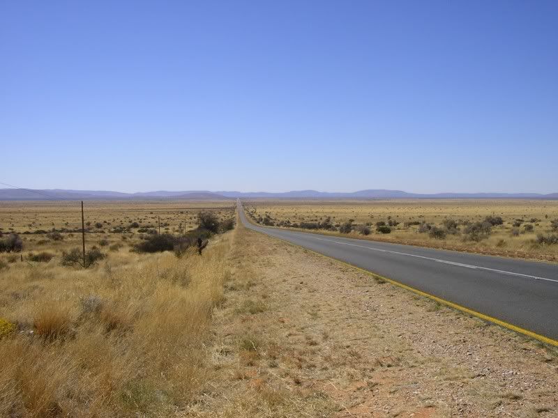
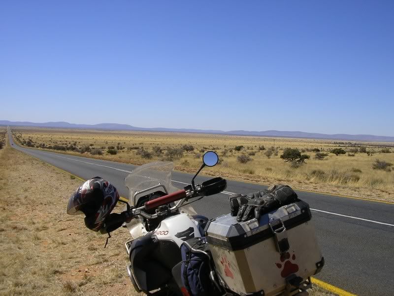
Crossroads, I took the tar to cover distance
And encountered this loooong boring tar stretch
Other reason why I love a powerful DS bike, it makes mince meat of boring distances. Not bad as its against a headwind
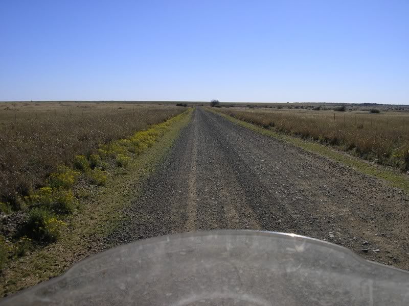
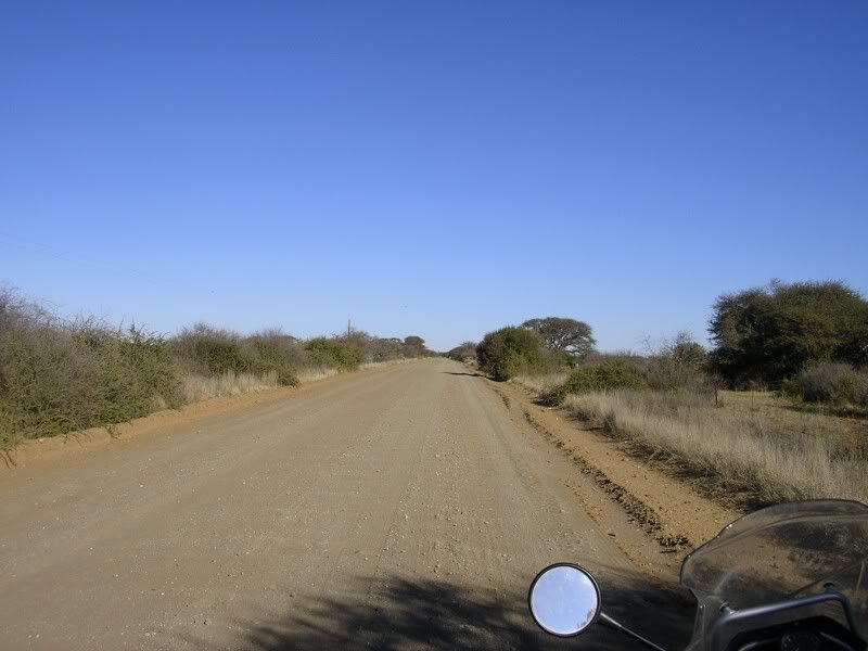
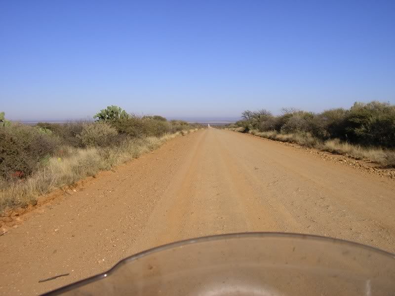
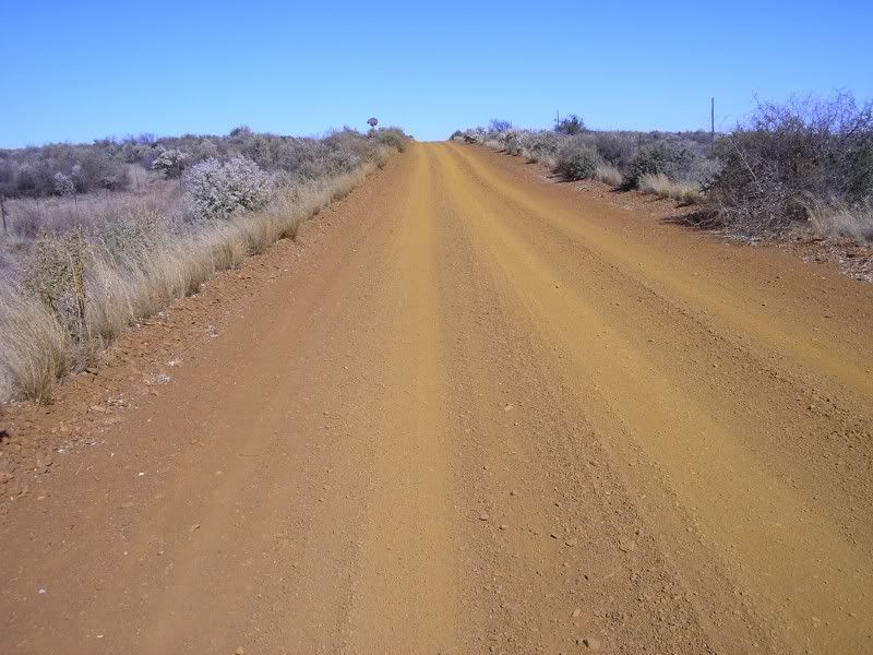
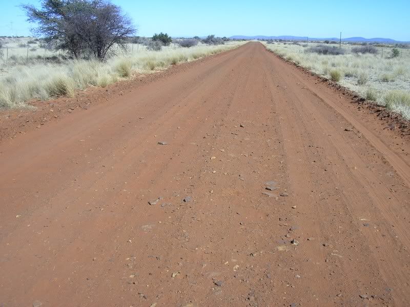
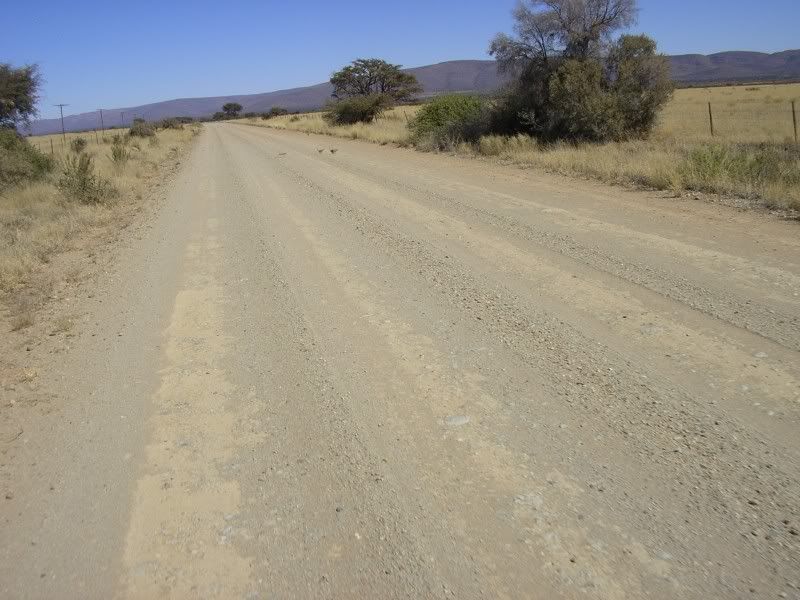
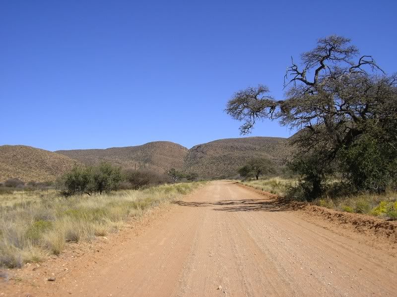
I sign post flashed past…Danielskuil….ancors, turned around, went for a look and see. Just other small town. Opened my map book for the first time. There is a gravel road leading to Postmasburg. It’s a gem.
Some pics of that road

In your head, in your head,
Zombie, zombie, zombie,
Hey, hey, hey. What's in your head,
In your head,
Zombie, zombie, zombie?
Hey, hey, hey, hey, oh, dou, dou, dou, dou, dou...
Postmasburg come and went. On the other side of town.
Took the turn off as per Goodle earth flyover. Huh? Sorry sir, this road is closed to the general public.
Fooking mine
They sure are big in safety.
In return for fucking up this area they are now building a wide gravel road
And this is what I though of that road
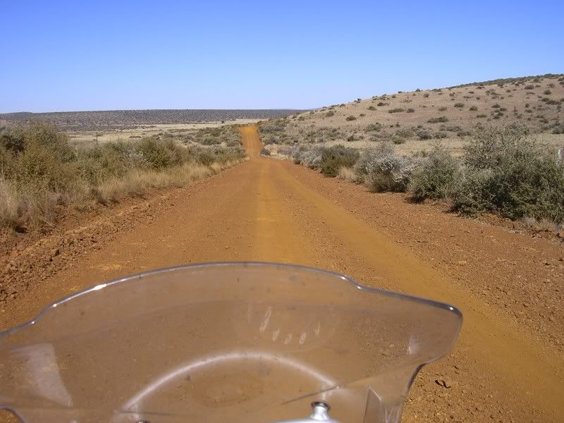
Oh, they moved the road I was looking for 10km to the south and I was a happy chappy once again. My next waypoint in the map in my head was the mountains in the distance
Why did the Meerkat family cross the road?
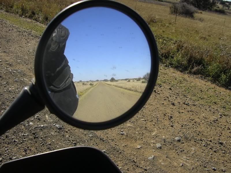
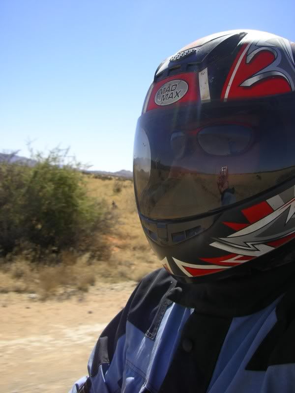
Took some pics while standing. Oh and for the anti-standing lobby group, screw you, its lekker to take pics that way. Look ma its me
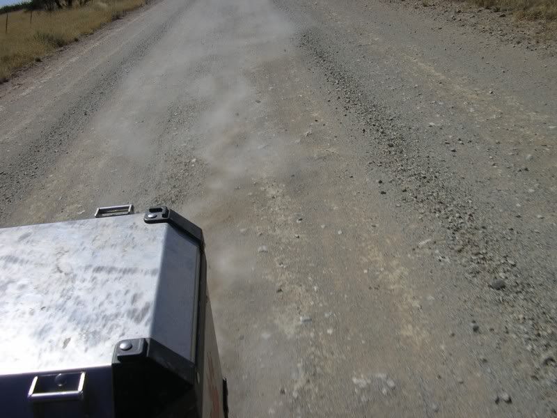
And my dust
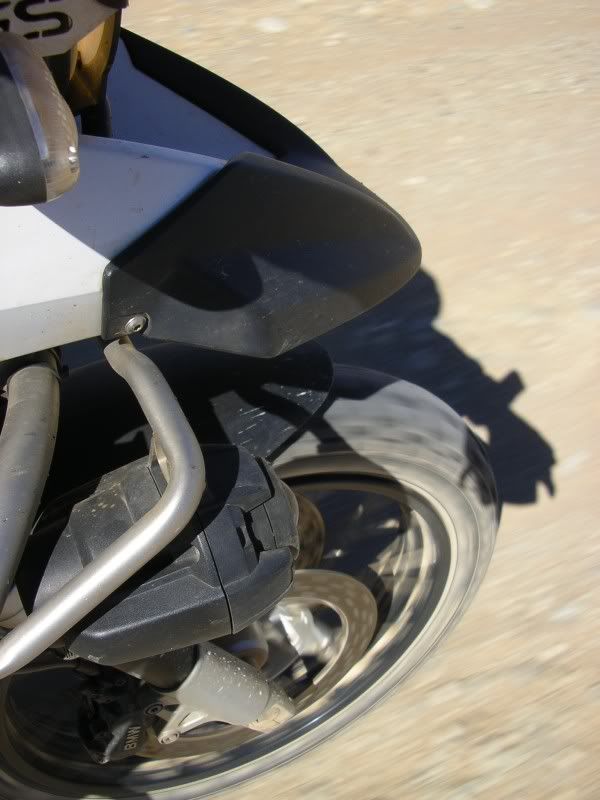
And the front wheel
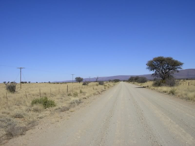
Nearing the mountains
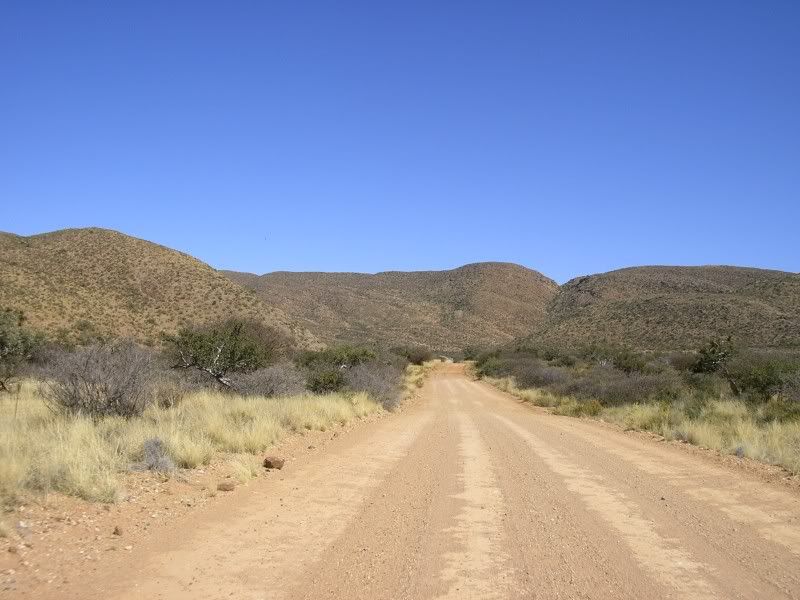
And now the fun starts
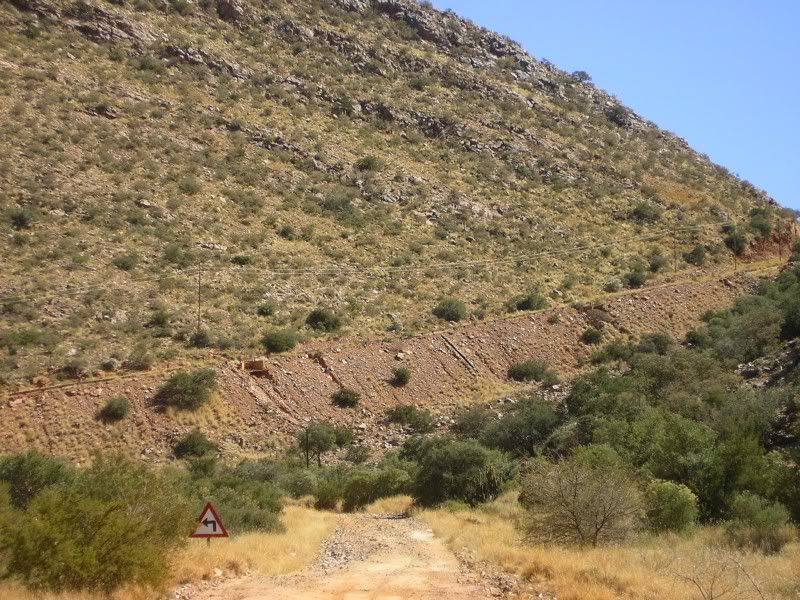
Glad for this sement slab. Beautiful surroundings
Another mother's breakin',
Heart is taking over.
When the vi'lence causes silence,
We must be mistaken.
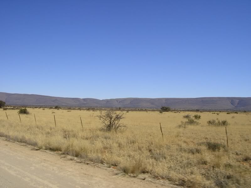
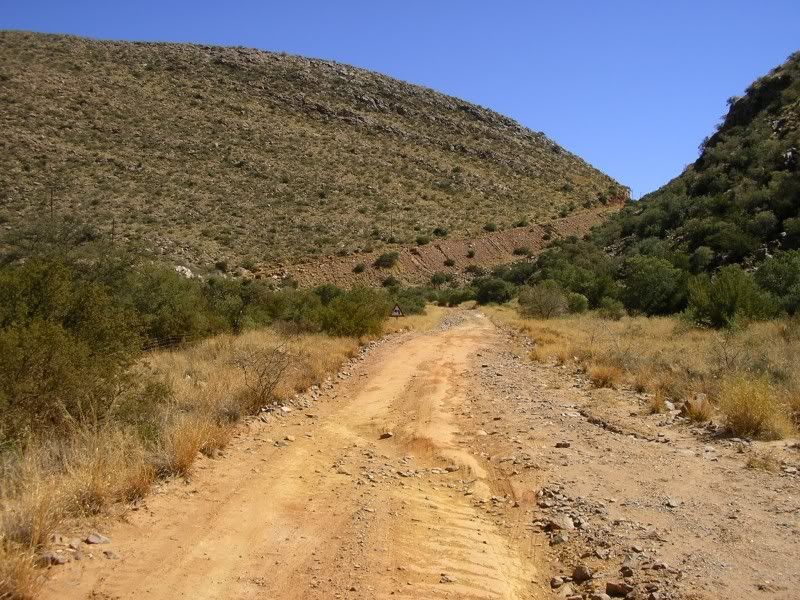
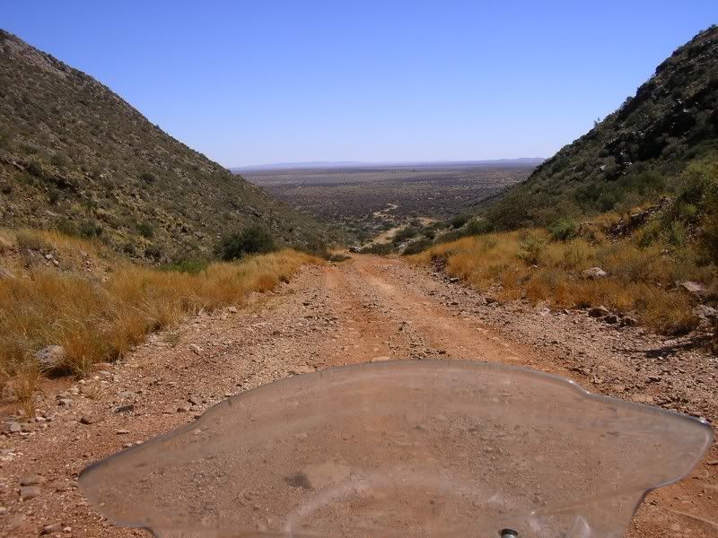
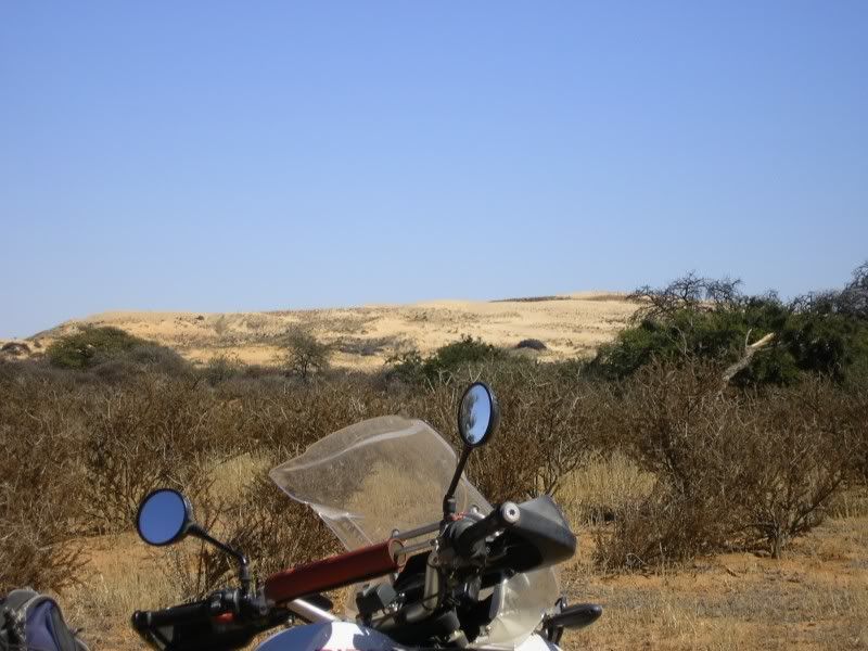
Other side of the mountain
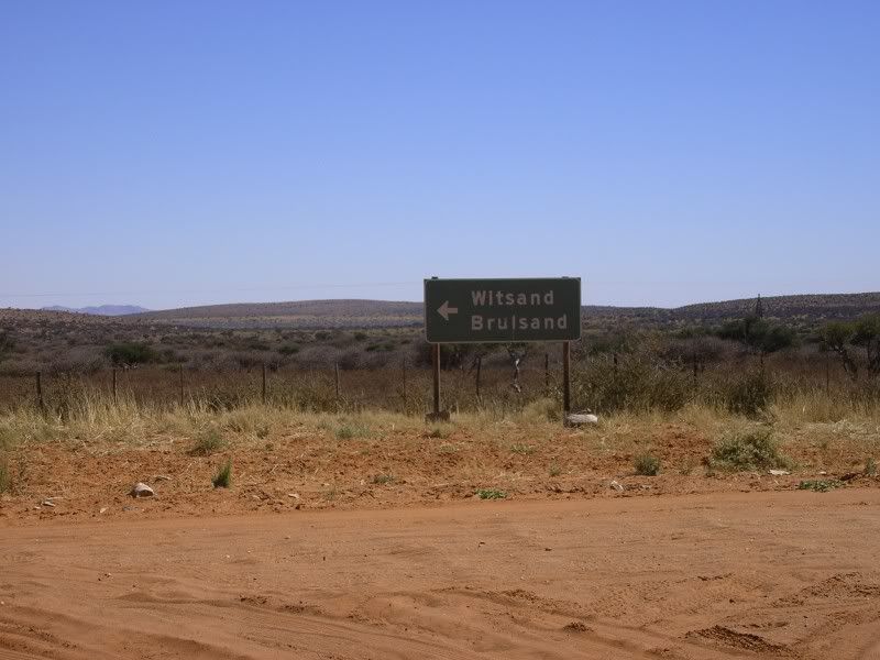
Brulsand, witsand
Dik sand
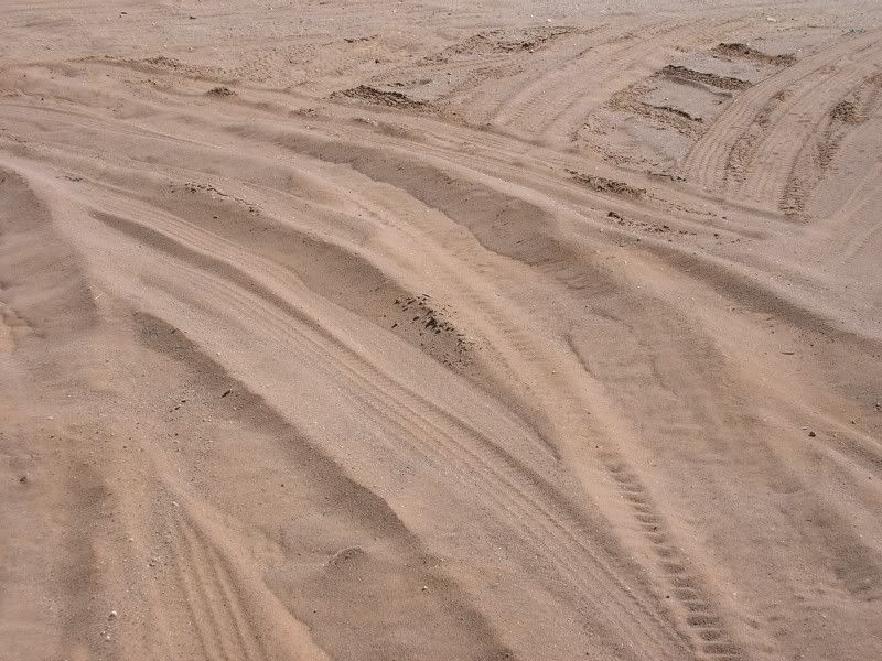
Groot hoop sand
It's the same old theme since nineteen-sixteen.
In your head, in your head they're still fighting,
With their tanks and their bombs,
And their bombs and their guns.
In your head, in your head, they are dying...
Upington is somewhere ahead, Boegoeberg somewhere to the left.
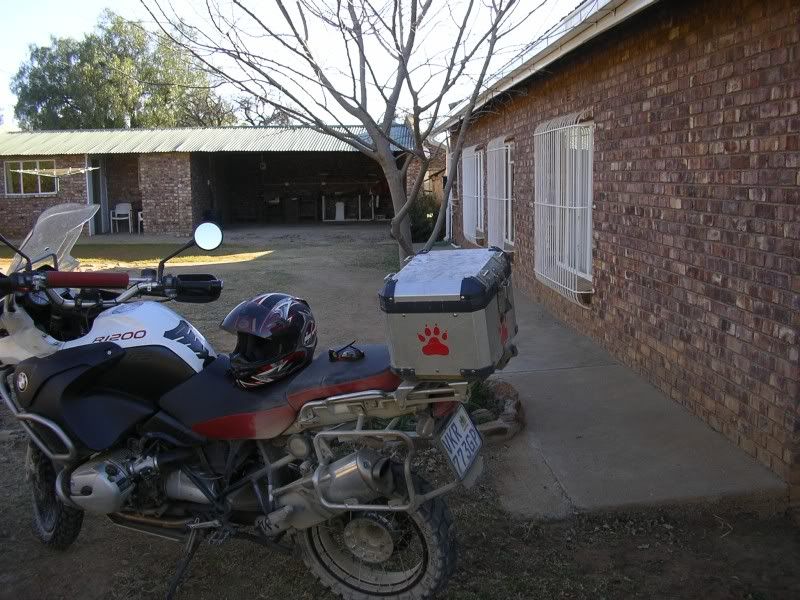
Arrived in Upington and went to my pre booked B&B. Lovely place
Finished what I had to come for and took tar all the way back.
In your head, in your head,
Zombie, zombie, zombie,
Hey, hey, hey. What's in your head,
In your head,
Zombie, zombie, zombie?
Hey, hey, hey, hey, oh, oh, oh,
Oh, oh, oh, oh, hey, oh, ya, ya-a...
She is a good girl, carried me well and never missed a beat. Always willing to give more. Thank you.
My name is Ama ride ride and the sands of the Kalahari made me jags……
A very talented young woman once performed to me the Cranberries’ song titled “Zombie” Sitting close to me while she lead herself with her 12 snare guitar With my one hand on her guitar I felt the accords and with my other hand on her back to drink in her powerful voice. It was an experience I will always remember. So this song is very special to me and I played it over and over in my head…
My trip actually started in Bloemhof. I had really no idea which roads I would take. Although I did some goodle earth fly overs I decided to basically toss a coin when the roads fork. I had some errands to run and could only leave Jozi around 11. So I took the boring N14, tar all the way to Bloemhof.
Another head hangs lowly,
Child is slowly taken.
And the violence caused such silence,
Who are we mistaken?
The bridge just outside Bloemhof
Bloemhof dam
Somewhere on the roads close to the Vaal river
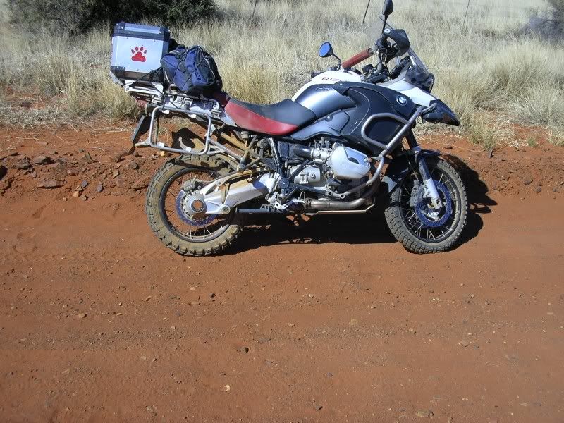
My roadbike got a big bladder, not me, so I had to stop before her. This two pics was taken somewhere between Christiana and Warrenton. Did not care, did not worry, just loved it.
Entering Warrenton I decided to look for a B&B. Found this lekker place. For the average price of R300 I had this whole house for myself. DSTV, 6 bed, 2 bath, underfloor heating, pool, stoep with view of the Vaal.
A pool
The Vaal river and a horse (you can ride it if you want. I declined.)
Nice braai
Style
For the romantic winter nights.
Bought some take aways and polished a bottle of Durbanville Hills Bastion.
But you see, it's not me, it's not my family.
In your head, in your head they are fighting,
With their tanks and their bombs,
And their bombs and their guns.
In your head, in your head, they are crying...
Around 9am, after breakfast, I was on my way. Warrenton was still sleeping and probably cant understand the city dwelwer’s rush. I was on a mission, I had roads to discover.
Deserted streets
Petrol station was open
Single lane bridge just outside town.
Surrounding bushlands
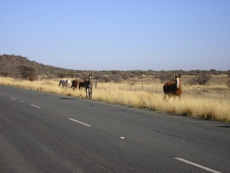
Who need a 3some when you have this?
North Cape’s version of the Feral Horses.
Crossroads, I took the tar to cover distance
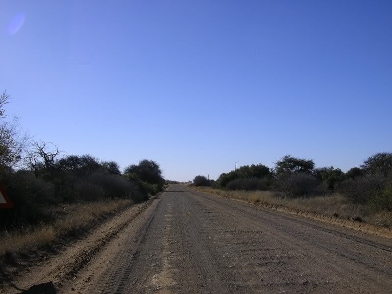
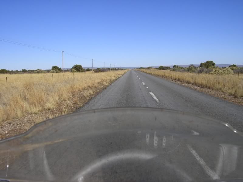
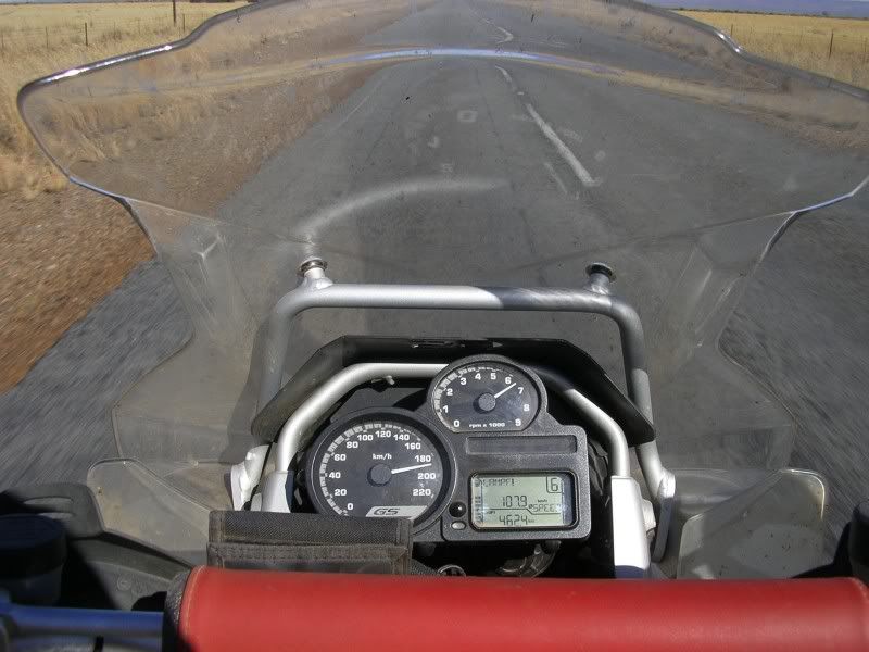
And encountered this loooong boring tar stretch
Other reason why I love a powerful DS bike, it makes mince meat of boring distances. Not bad as its against a headwind
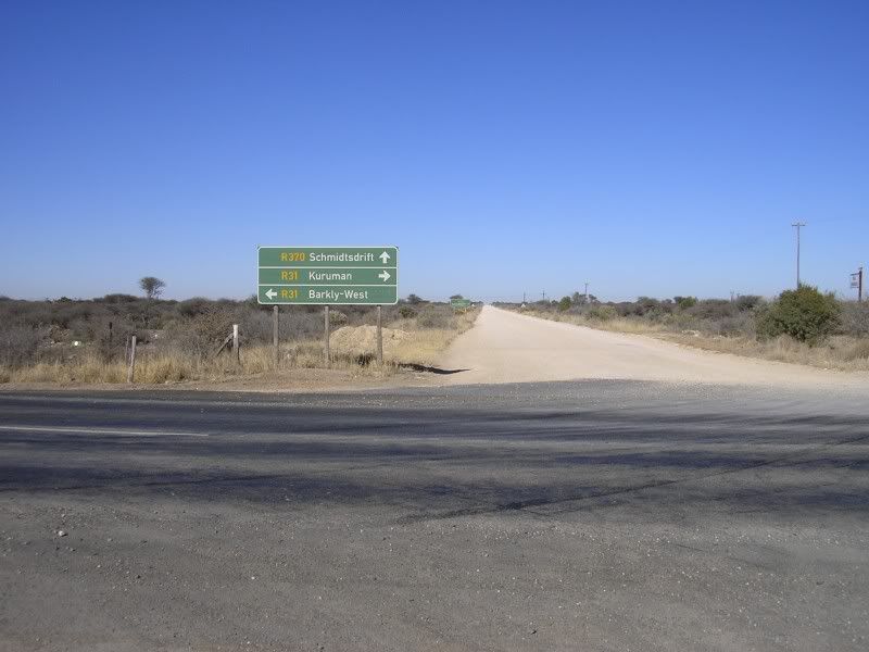
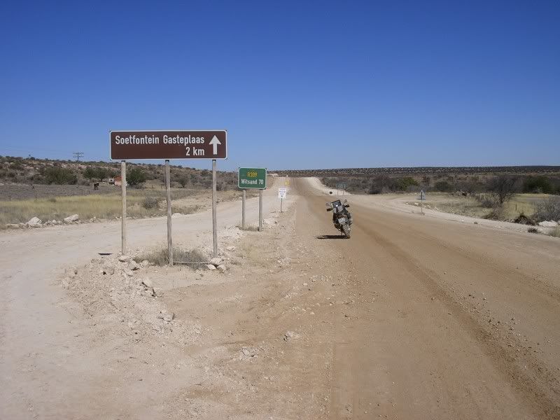
I sign post flashed past…Danielskuil….ancors, turned around, went for a look and see. Just other small town. Opened my map book for the first time. There is a gravel road leading to Postmasburg. It’s a gem.
Some pics of that road
In your head, in your head,
Zombie, zombie, zombie,
Hey, hey, hey. What's in your head,
In your head,
Zombie, zombie, zombie?
Hey, hey, hey, hey, oh, dou, dou, dou, dou, dou...
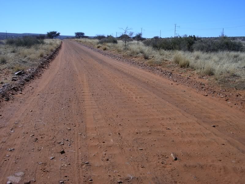
Postmasburg come and went. On the other side of town.
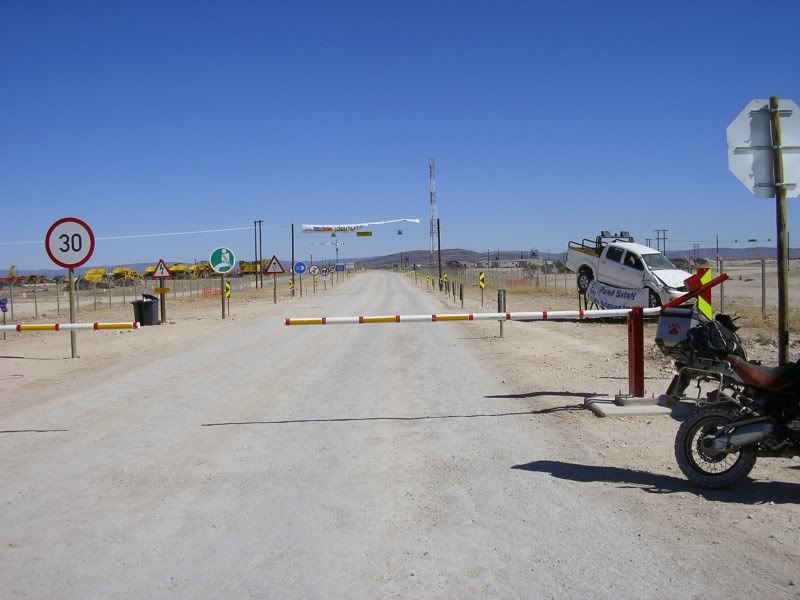
Took the turn off as per Goodle earth flyover. Huh? Sorry sir, this road is closed to the general public.
Fooking mine
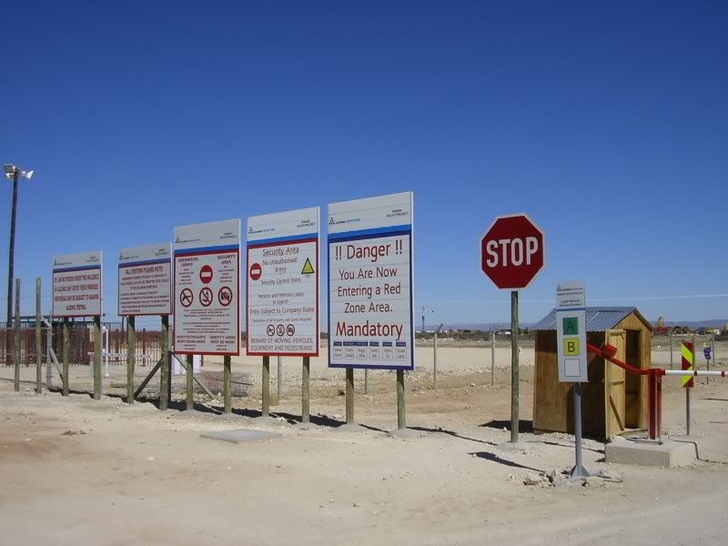
They sure are big in safety.
In return for fucking up this area they are now building a wide gravel road
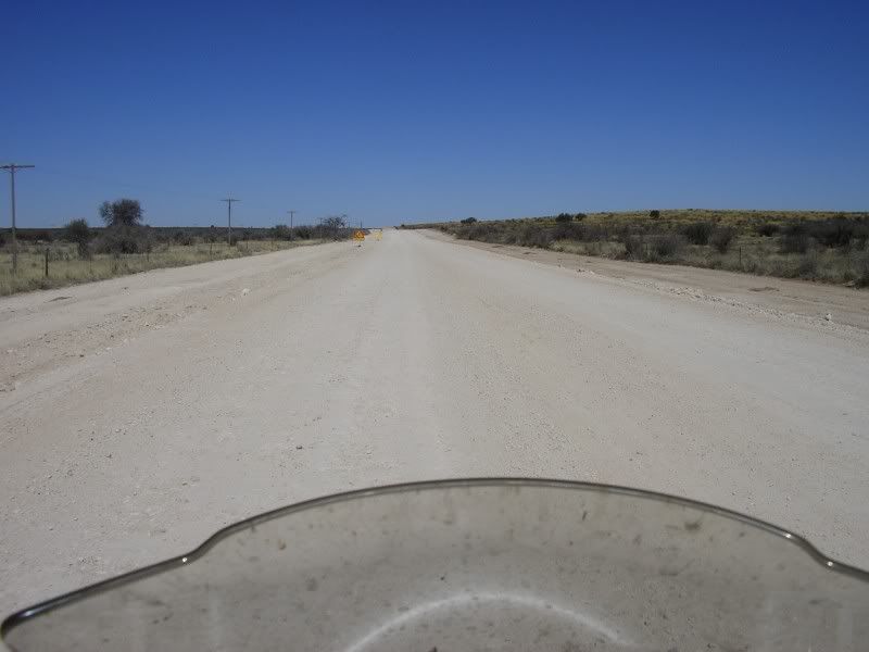
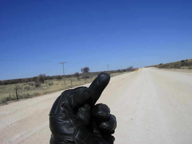
And this is what I though of that road
Oh, they moved the road I was looking for 10km to the south and I was a happy chappy once again. My next waypoint in the map in my head was the mountains in the distance
Why did the Meerkat family cross the road?
Took some pics while standing. Oh and for the anti-standing lobby group, screw you, its lekker to take pics that way. Look ma its me
And my dust
And the front wheel
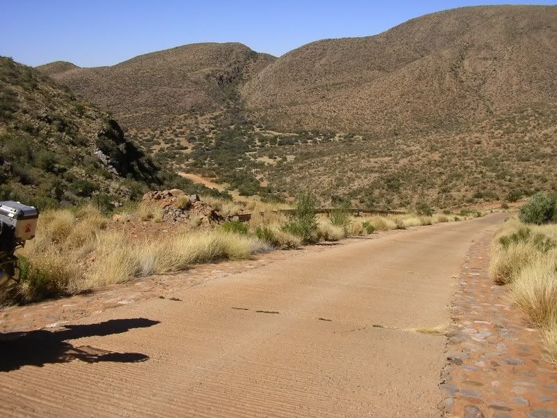
Nearing the mountains
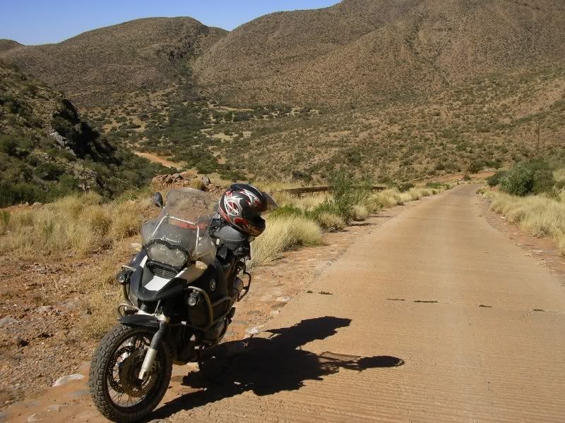
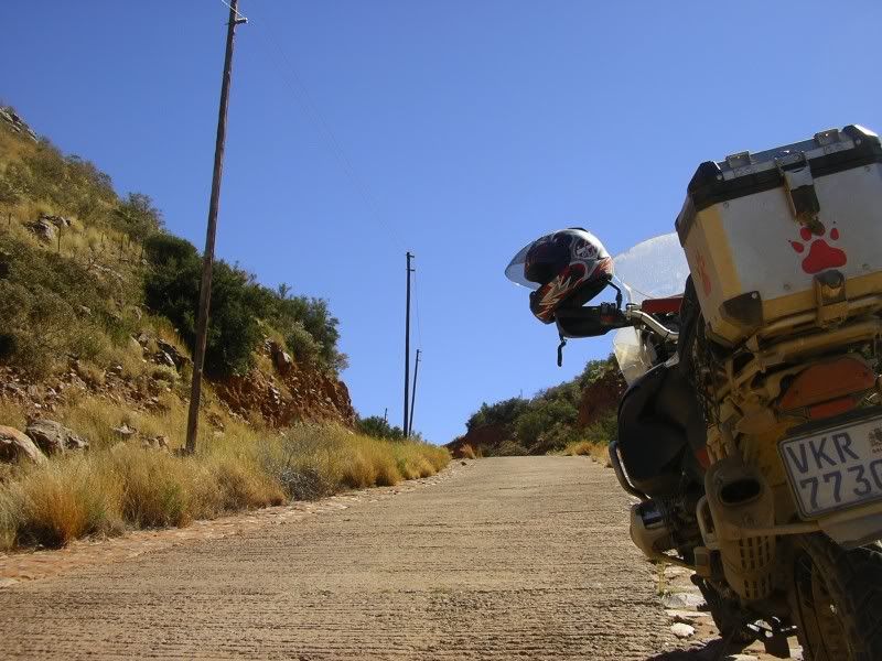
And now the fun starts
Glad for this sement slab. Beautiful surroundings
Another mother's breakin',
Heart is taking over.
When the vi'lence causes silence,
We must be mistaken.
Other side of the mountain
Brulsand, witsand
Dik sand
Groot hoop sand
It's the same old theme since nineteen-sixteen.
In your head, in your head they're still fighting,
With their tanks and their bombs,
And their bombs and their guns.
In your head, in your head, they are dying...
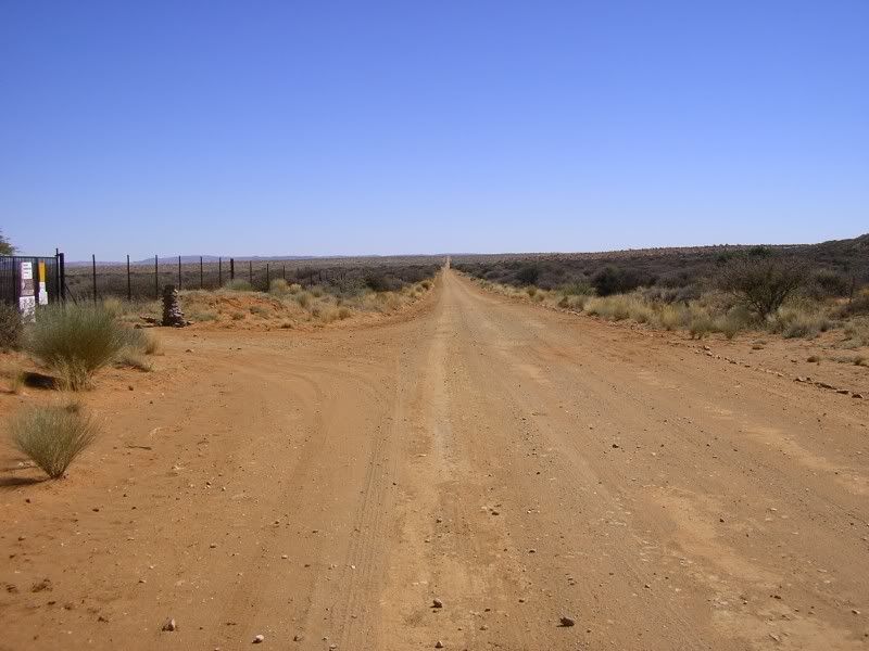
Upington is somewhere ahead, Boegoeberg somewhere to the left.
Arrived in Upington and went to my pre booked B&B. Lovely place
Finished what I had to come for and took tar all the way back.
In your head, in your head,
Zombie, zombie, zombie,
Hey, hey, hey. What's in your head,
In your head,
Zombie, zombie, zombie?
Hey, hey, hey, hey, oh, oh, oh,
Oh, oh, oh, oh, hey, oh, ya, ya-a...
She is a good girl, carried me well and never missed a beat. Always willing to give more. Thank you.
My name is Ama ride ride and the sands of the Kalahari made me jags……