


Bessie
Pack Dog
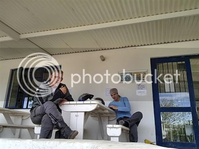
The old man set of on Tuesday from george.. me joining him from stellenbosch to Langebaan (Lientjiesklip campsite)
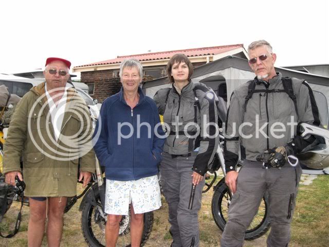
Chris en Marie
Meeting other T4A partners in Lutzville the next day.
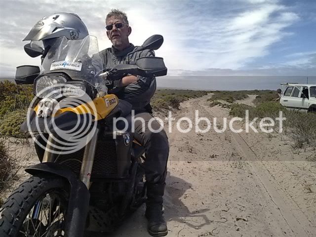
Old man (Wouter Brand) on the F800
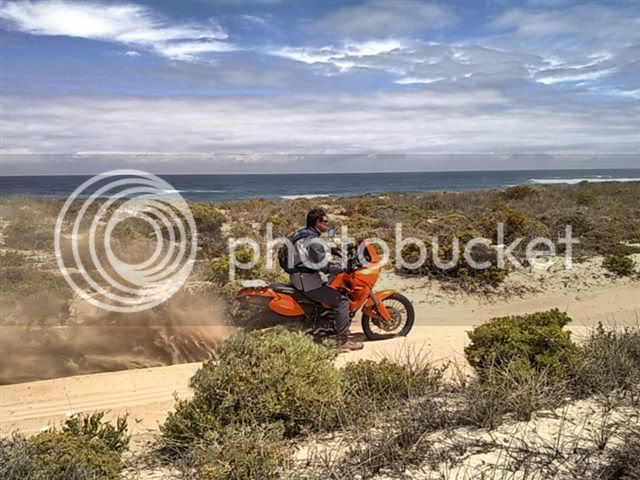
Me (Bessie Brand) on the x country
Johann Groenewald on the KTM
And Johann Marais in Land Cruiser.
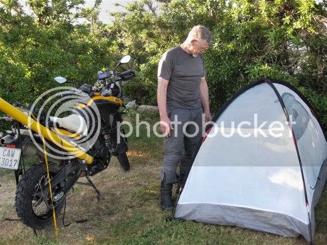
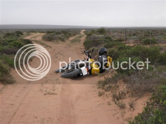
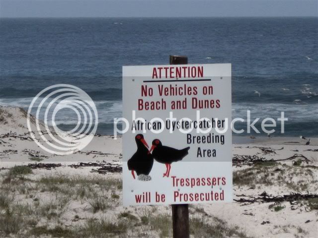
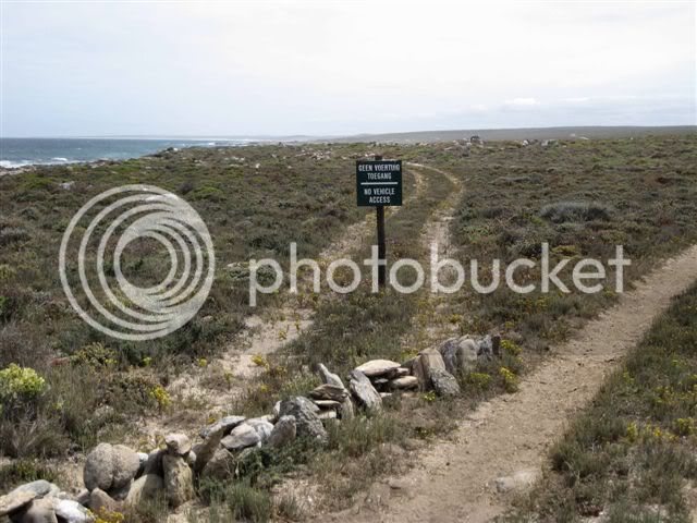
The idea was to reach De Beers Camp 10 [S30.91541 E17.60392] and map the park on Thursday. But the sand battle was 28km too long for me.
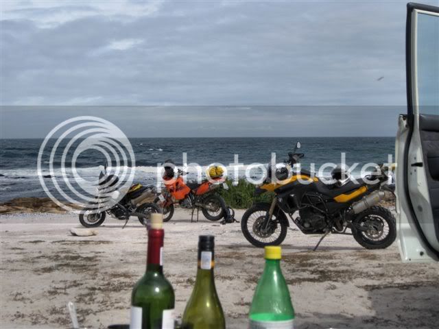
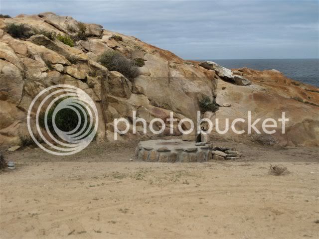
As the sun set over our make shift fire the Land Cruiser finally came back to rescue us from a Energybar for supper Father and Daugter evening. These are photos of De beers camp 10 the next morning.
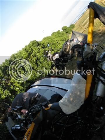
Strangely the sand demons entered my comfort zone the next day and the 2 teamed mapping went clock work. (of miskien was ek maar net gatvol vir al die kak sand)
Friday morning Wouter set out North from Hondeklipbaai aiming for Angola in the next month. Solo. The rest came back south.
Oja... en die antwoord is nee... we don’t get to do this all the time.
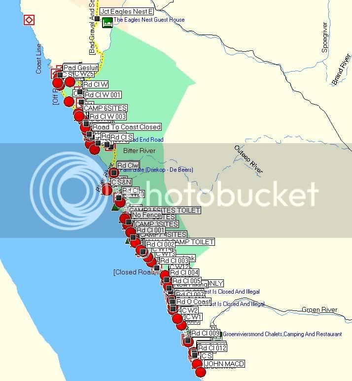
I am going to get my facts straight on the park and will post the info here. Here is a screen dump of the raw mapping data.
Chris en Marie
Meeting other T4A partners in Lutzville the next day.
Old man (Wouter Brand) on the F800
Me (Bessie Brand) on the x country
Johann Groenewald on the KTM
And Johann Marais in Land Cruiser.
The idea was to reach De Beers Camp 10 [S30.91541 E17.60392] and map the park on Thursday. But the sand battle was 28km too long for me.
As the sun set over our make shift fire the Land Cruiser finally came back to rescue us from a Energybar for supper Father and Daugter evening. These are photos of De beers camp 10 the next morning.
Strangely the sand demons entered my comfort zone the next day and the 2 teamed mapping went clock work. (of miskien was ek maar net gatvol vir al die kak sand)
Friday morning Wouter set out North from Hondeklipbaai aiming for Angola in the next month. Solo. The rest came back south.
Oja... en die antwoord is nee... we don’t get to do this all the time.
I am going to get my facts straight on the park and will post the info here. Here is a screen dump of the raw mapping data.