


Trailrider
Bachelor Dog
OK guys, here it is: Cloetes Pass, Attakwas Kloof, Attakwas Pass, Louvain & the Burchell route. To make it more manageable I will split it into 3 parts.
Cloetespass
It is part of Route R327 and can be done on its own, as part of the Ox wagon route or as part of the following route:
Herbertsdale ? Cloetespas ? Van Wyksdorp ? Rooiberg Pass ? Calitzdorp ? Seweweekspoort.
The latter route is a public route and can be done by any DS bike.
For those using Google Earth the approximate co-ordinates for Cloetes Pass are 33�º57?20? S 21�º47?44? E
You can find a GPS route that includes Cloetes Pass at:
https://www.bmwmotorrad.co.za/lifestyle/gps/routes/wcape.html
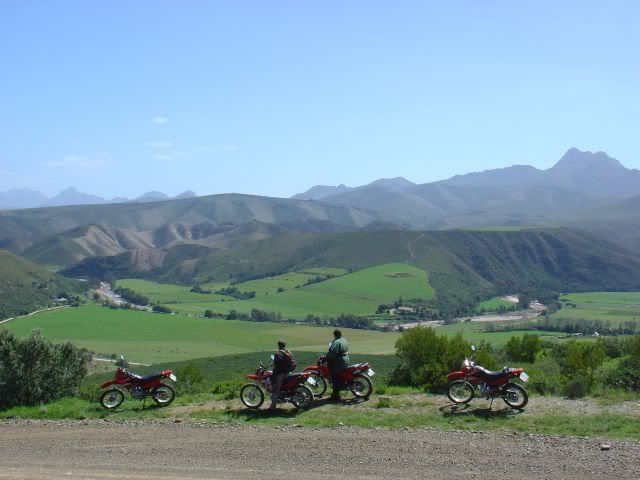
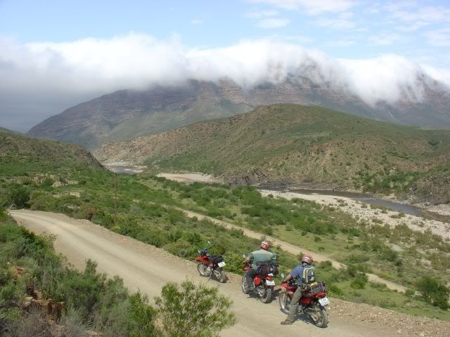
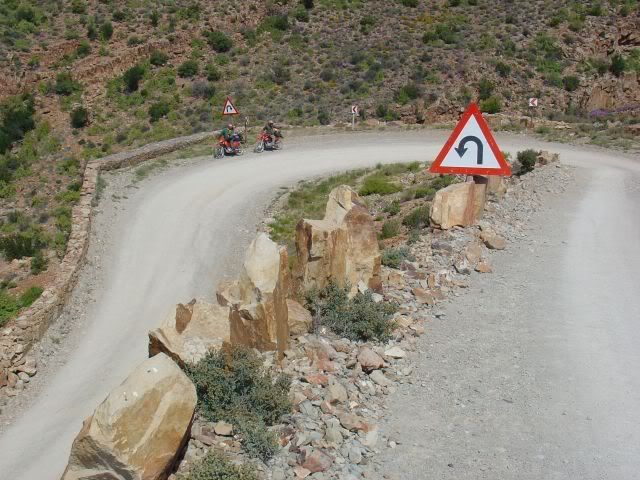
This is a really beautiful pass with stunning views.
When you are just across the mountain you have to turn of onto a farm road that will take you through the Attakwas Kloof past Woeska (ghost town) to Bonnidale Farm. More about the Attakwas route in part 2.
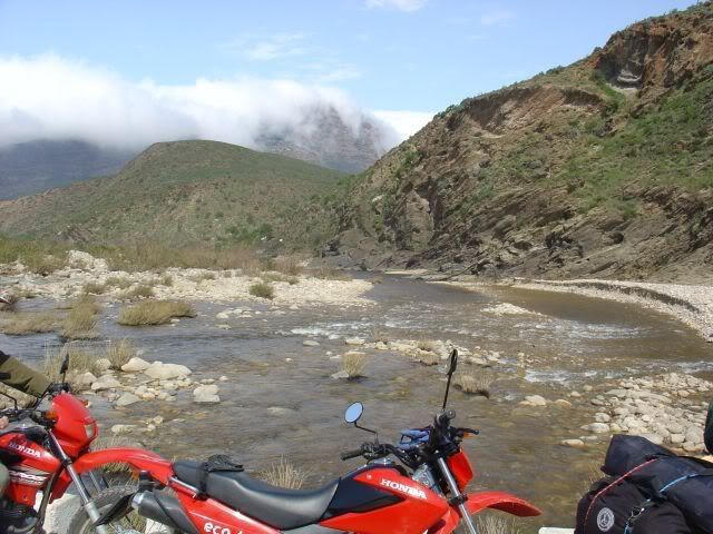
If you carry on past the Cloetes Pass you cross the Gouritz river
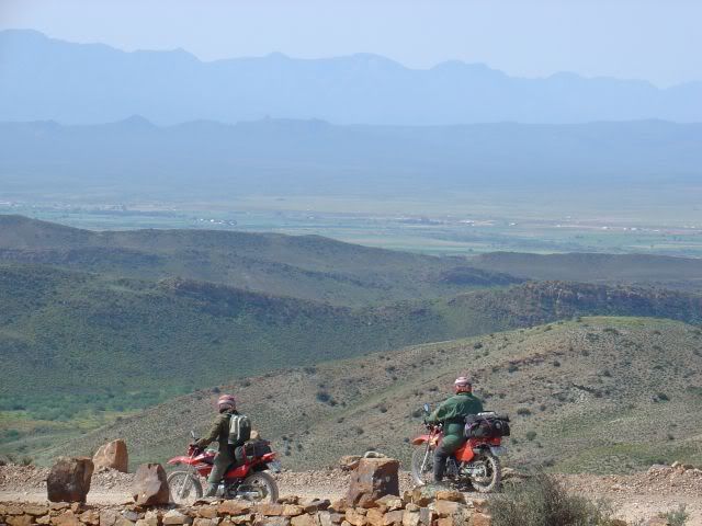
And on to the Rooiberg pass
According to the SAARN Scale https://www.wilddogtours.co.za/forum/viewtopic.php?t=1719
I would rate Cloetes pass and Rooiberg Pass as mostly 1 & 2 with some parts as a 3 after rain.
Ok, for those who like to go of the beaten track and ride grade 3 & 4 stuff plus trails, you would have turned off after the Cloetes Pass into the Attakwas Kloof (over private land). More detail about that and obtaining permissions/permits in Part 2.
PS. For those of you who read the WEG magazine, the Ox wagon trail was featured in WEG #9, June 2005 pg 52-62
Other sites of interest:
https://www.flickr.com/photos/martin_heigan/269627784/
https://www.bmwmotorrad.co.za/lifestyle/abbg/rooiberg.html
https://www.routes.co.za/route/R300/R327/index.html
Cloetespass
It is part of Route R327 and can be done on its own, as part of the Ox wagon route or as part of the following route:
Herbertsdale ? Cloetespas ? Van Wyksdorp ? Rooiberg Pass ? Calitzdorp ? Seweweekspoort.
The latter route is a public route and can be done by any DS bike.
For those using Google Earth the approximate co-ordinates for Cloetes Pass are 33�º57?20? S 21�º47?44? E
You can find a GPS route that includes Cloetes Pass at:
https://www.bmwmotorrad.co.za/lifestyle/gps/routes/wcape.html
This is a really beautiful pass with stunning views.
When you are just across the mountain you have to turn of onto a farm road that will take you through the Attakwas Kloof past Woeska (ghost town) to Bonnidale Farm. More about the Attakwas route in part 2.
If you carry on past the Cloetes Pass you cross the Gouritz river
And on to the Rooiberg pass
According to the SAARN Scale https://www.wilddogtours.co.za/forum/viewtopic.php?t=1719
I would rate Cloetes pass and Rooiberg Pass as mostly 1 & 2 with some parts as a 3 after rain.
Ok, for those who like to go of the beaten track and ride grade 3 & 4 stuff plus trails, you would have turned off after the Cloetes Pass into the Attakwas Kloof (over private land). More detail about that and obtaining permissions/permits in Part 2.
PS. For those of you who read the WEG magazine, the Ox wagon trail was featured in WEG #9, June 2005 pg 52-62
Other sites of interest:
https://www.flickr.com/photos/martin_heigan/269627784/
https://www.bmwmotorrad.co.za/lifestyle/abbg/rooiberg.html
https://www.routes.co.za/route/R300/R327/index.html