


NIMMO
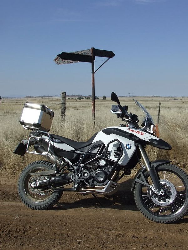
Race Dog
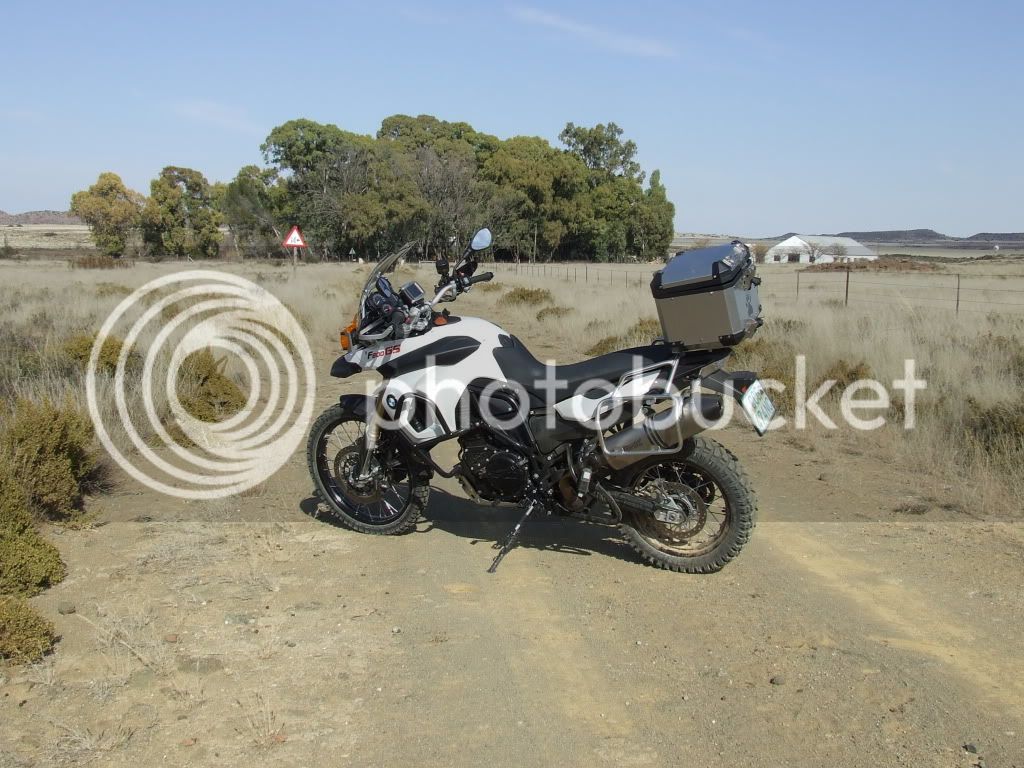
Solo around the mountain
When I woke up this morning this was the first perfect day in the past 6 weeks.
We had no frost and the temp was a crisp 0°C & absolutely no wind. :biggrin:
I have long been wanting to do a trip heading out onto one of the more desolate roads in the district and then linking up with a couple of sub roads that I have never traveled.
It always surprises me how little we know of our own backyard. I have been mapping all the sub & sub/sub roads over the past year and have been looking forward to travel this way for a long time now…
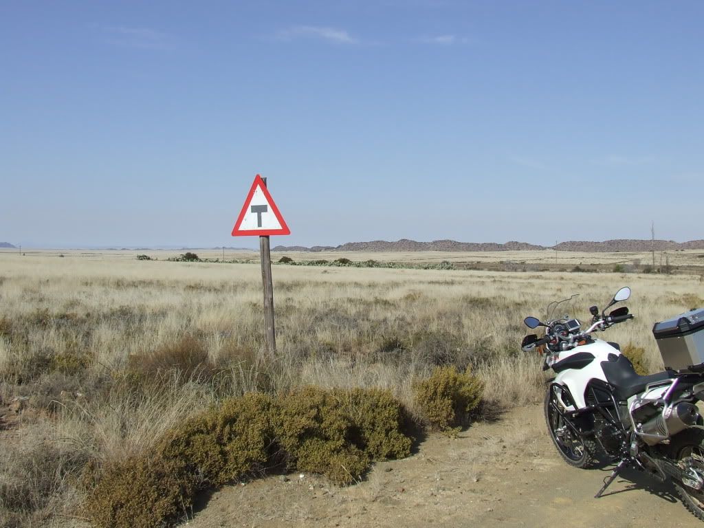
The idea was to head out to the right-hand side of Coleskop (NW) and eventually return on a road that returns on the left hand side (W) of the mountain. Hence “around the mountain”. The distance was about 160km and time wise about 5 hours.
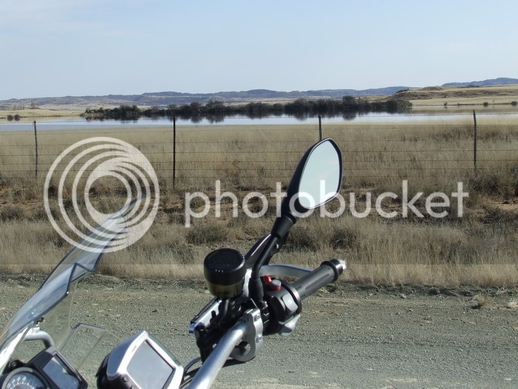
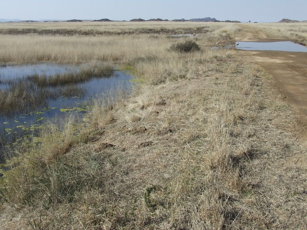
We have already had 4 times our yearly rainfall and the district is WET, every single fountain is flowing, dams are full and the roads are in a terrible condition because of erosion. In other words FERFECT conditions for a memorable trip. ;D
This is not so much a RR as a look at how the Karoo looks when it gets rain.
Enjoy:
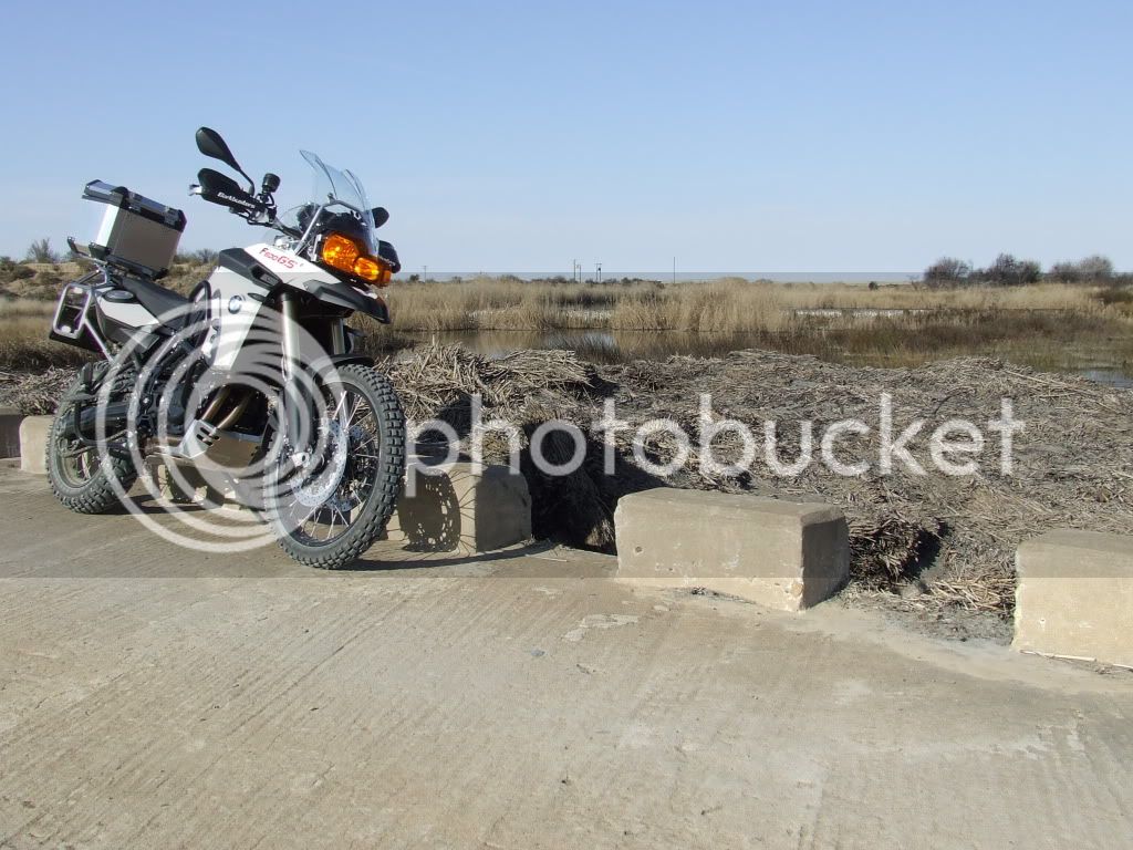
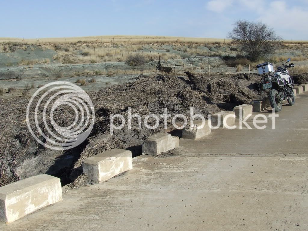
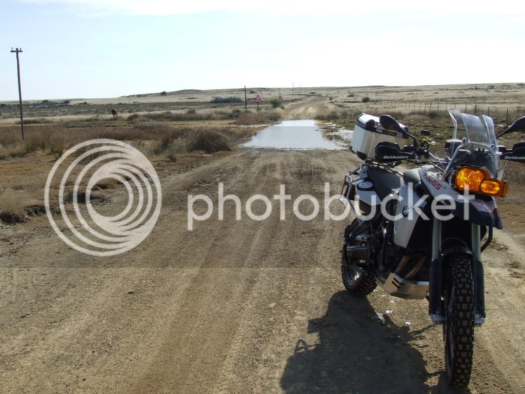
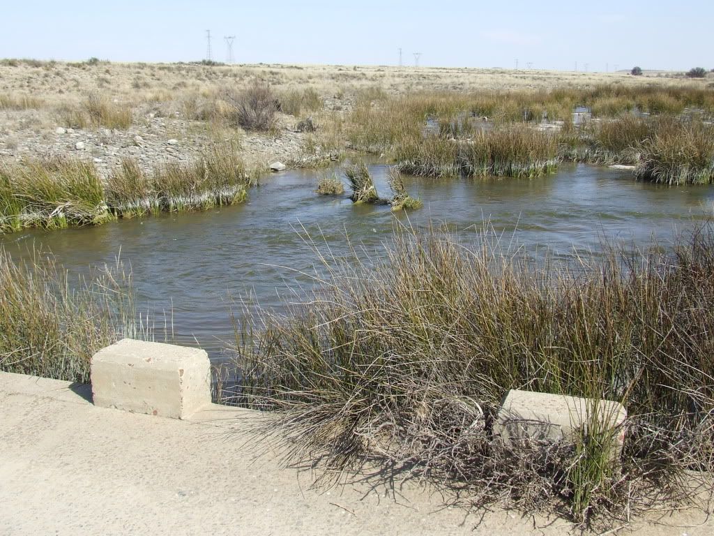
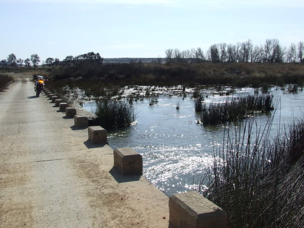
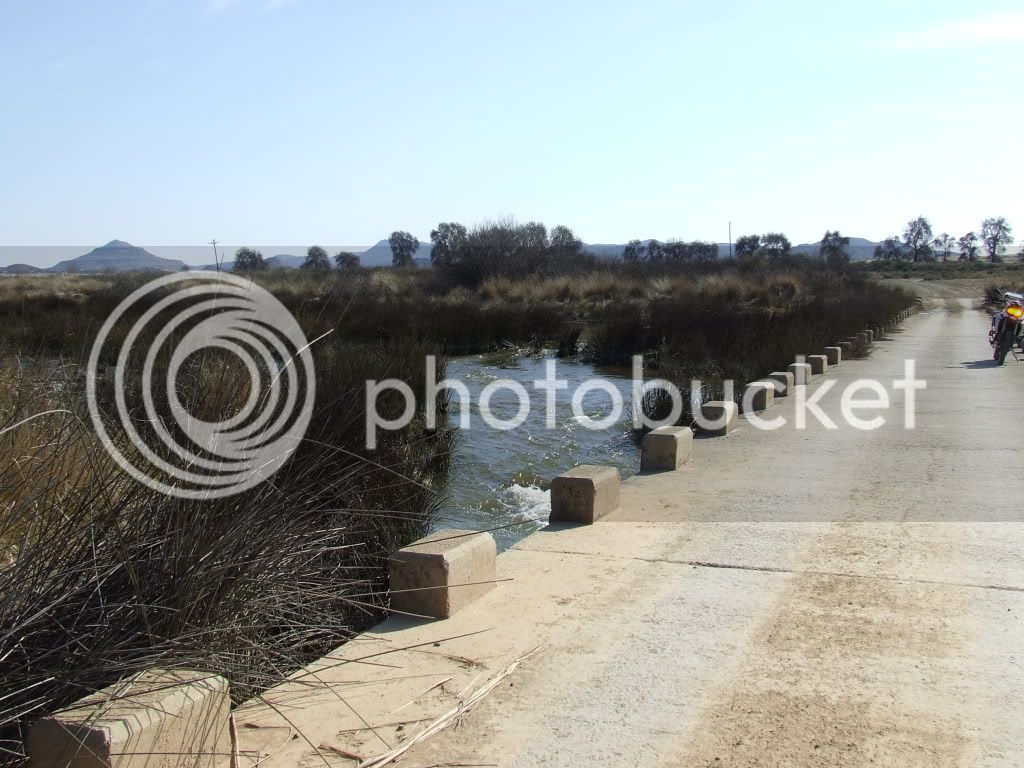
This low water bridge is about 2meters high and the debris was level with it:
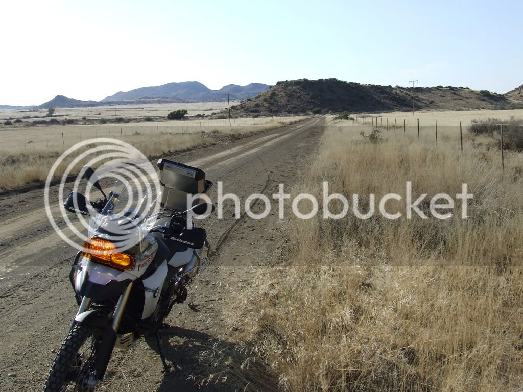
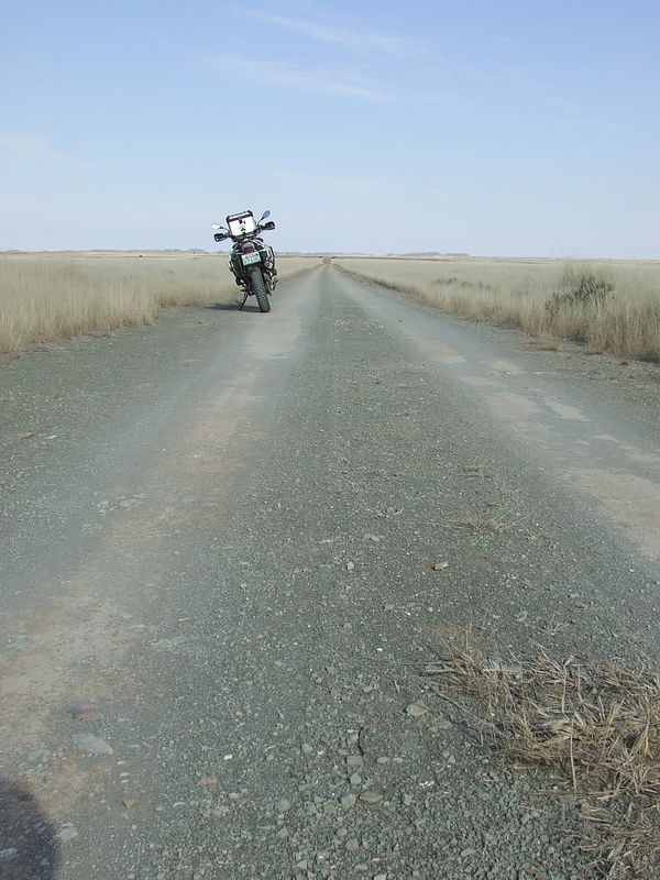
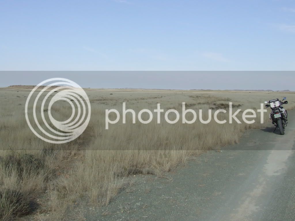
Some of the roads were in pristine condition:
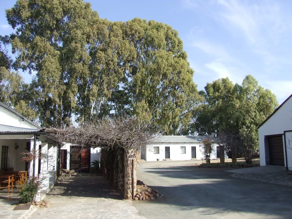
A friend of mine has a farm on the route, but he lives in PE and they don’t come there often. I thought I would take a slight detour and go see what it looks like there:
There are MANY farm houses like this just standing empty, being used only when it is hunting season – this one is a 5 bedroom in great condition. After his dad died his mom moved of the farm and his brother (who has a couple of farms as well) farms it now.
Note the mountain in the background – it is called Chinee’s hoed.
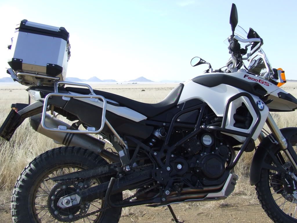
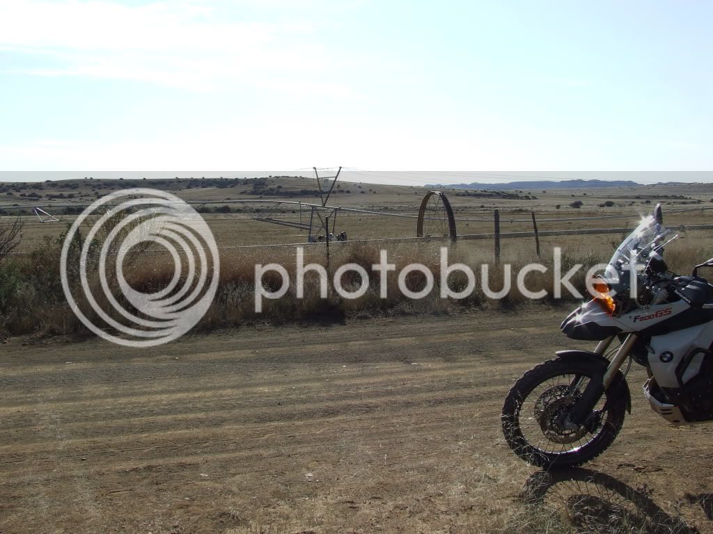
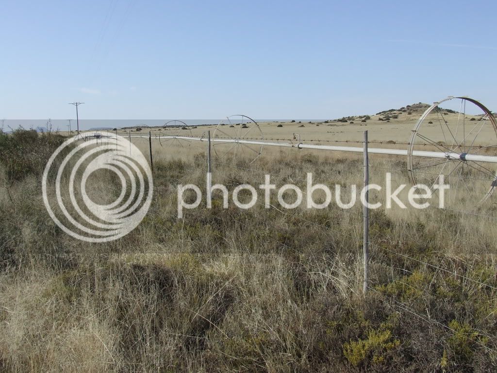
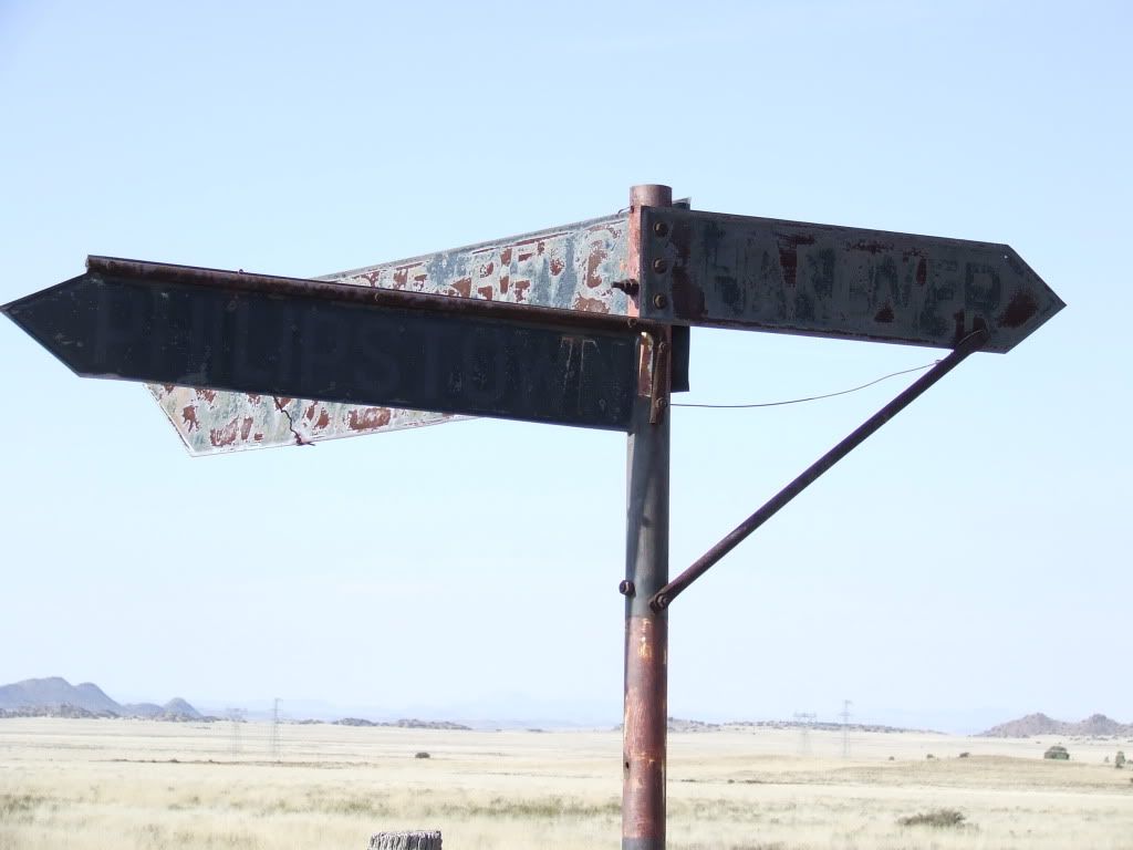
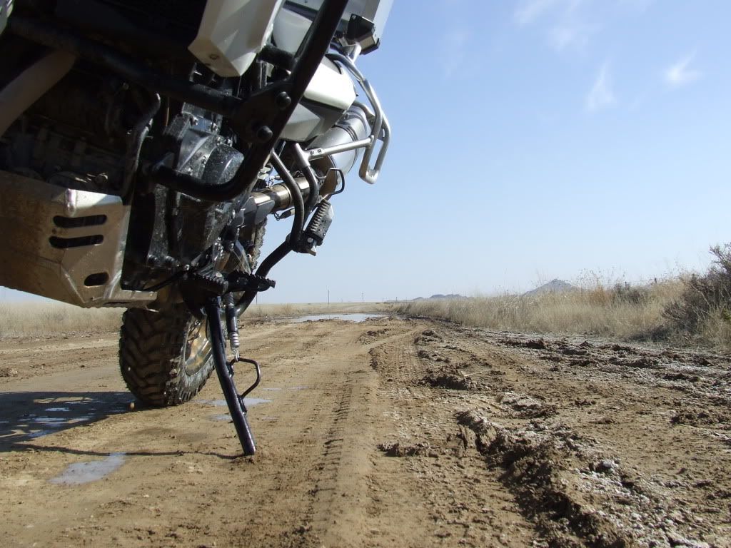
The reason GPS was invented:
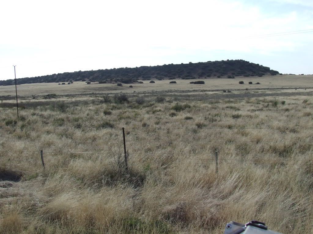
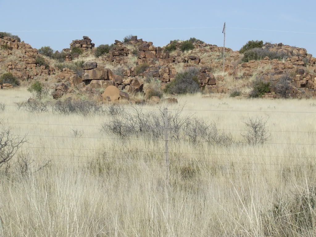
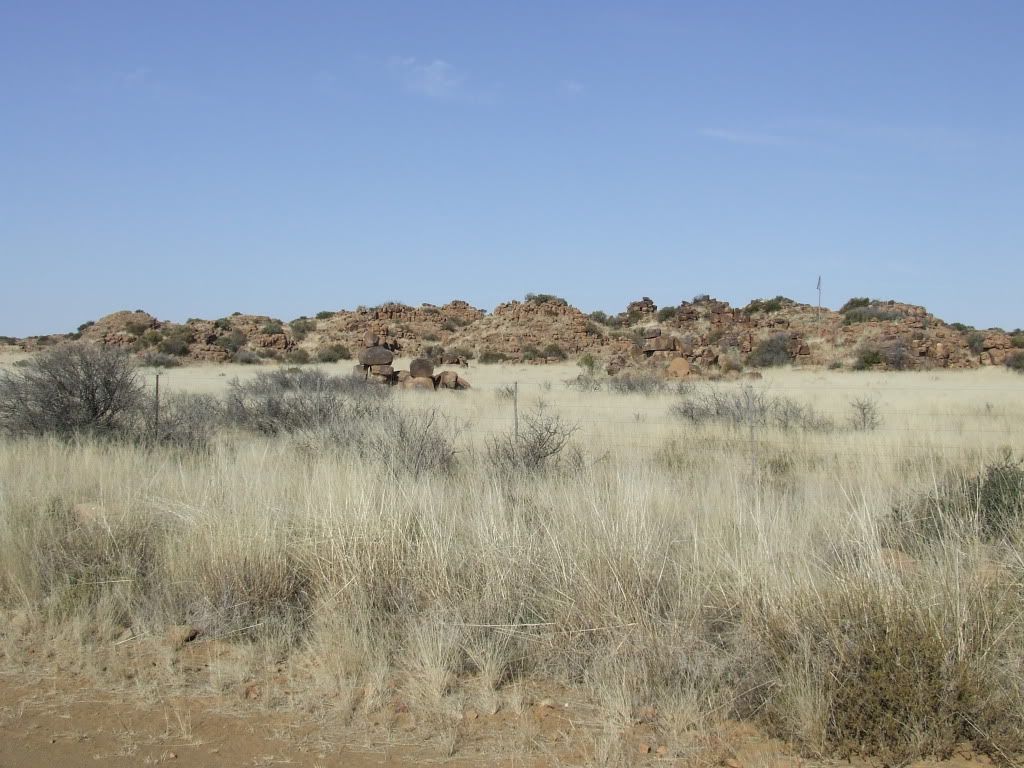
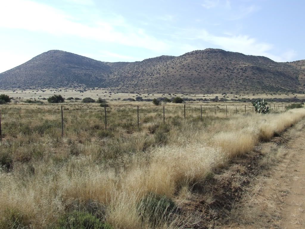
The klip koppies a well known sight in the Karoo
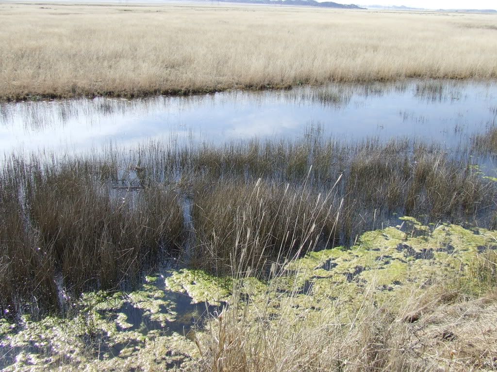
A part of the Seekoei river:
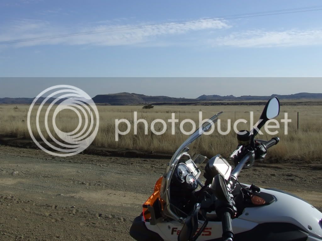
The Karoo is beautiful in its own way…
When I woke up this morning this was the first perfect day in the past 6 weeks.
We had no frost and the temp was a crisp 0°C & absolutely no wind. :biggrin:
I have long been wanting to do a trip heading out onto one of the more desolate roads in the district and then linking up with a couple of sub roads that I have never traveled.
It always surprises me how little we know of our own backyard. I have been mapping all the sub & sub/sub roads over the past year and have been looking forward to travel this way for a long time now…
The idea was to head out to the right-hand side of Coleskop (NW) and eventually return on a road that returns on the left hand side (W) of the mountain. Hence “around the mountain”. The distance was about 160km and time wise about 5 hours.
We have already had 4 times our yearly rainfall and the district is WET, every single fountain is flowing, dams are full and the roads are in a terrible condition because of erosion. In other words FERFECT conditions for a memorable trip. ;D
This is not so much a RR as a look at how the Karoo looks when it gets rain.
Enjoy:
This low water bridge is about 2meters high and the debris was level with it:
Some of the roads were in pristine condition:
A friend of mine has a farm on the route, but he lives in PE and they don’t come there often. I thought I would take a slight detour and go see what it looks like there:
There are MANY farm houses like this just standing empty, being used only when it is hunting season – this one is a 5 bedroom in great condition. After his dad died his mom moved of the farm and his brother (who has a couple of farms as well) farms it now.
Note the mountain in the background – it is called Chinee’s hoed.
The reason GPS was invented:
The klip koppies a well known sight in the Karoo
A part of the Seekoei river:
The Karoo is beautiful in its own way…