


- Joined
- Jan 18, 2011
- Messages
- 14,596
- Reaction score
- 2,665
- Location
- Overberg
- Bike
- Triumph (all models)
I had some time off and decided to get in some helmet time. There wasn’t much in the way planning as it was very much a spur of the moment thing. I decided to start the trip off with the Loskop Dam dirt route and to take it from there.
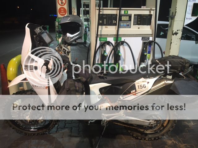
Filling up. If you can’t make out from the picture, the bike took over 22 litres and there was still around 3 litres left in the tank before filling. Awesome for heading out into the unknown.
I started riding just after 5am direction Bronkhorst spruit on the R25. Quite a scary road to do in the dark with quite a lot of traffic for that time of the morning.
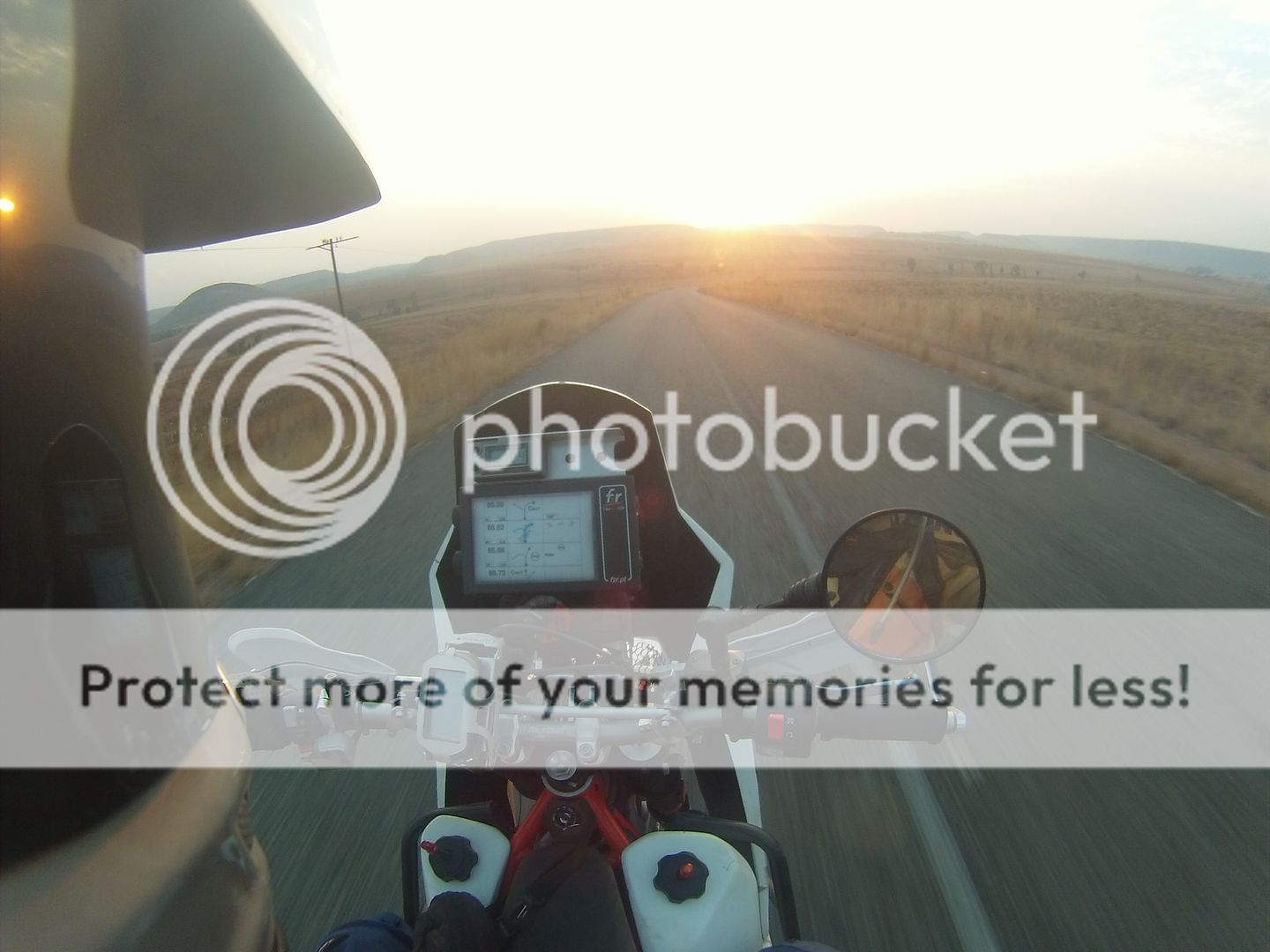
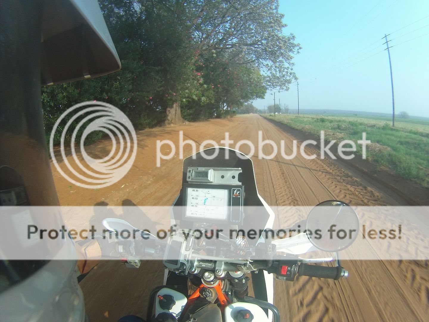
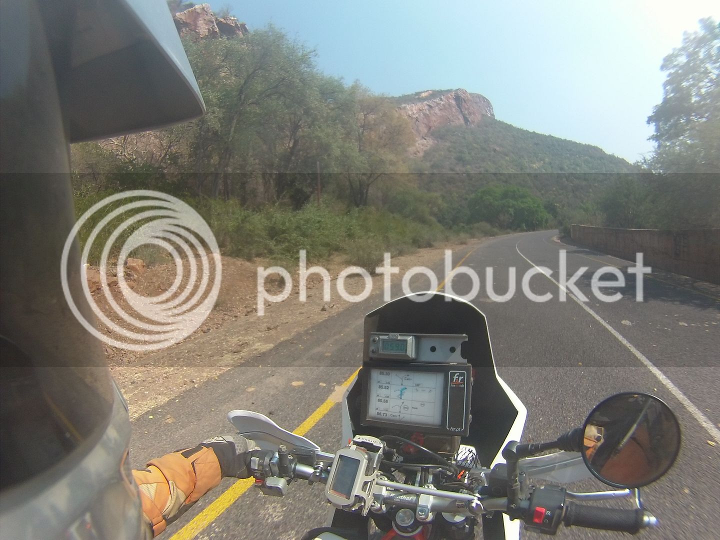
The idea was to hit the first dirt at Zusterstoom at sunrise and it worked out perfectly. Last 500m of tar before the dirt starts.
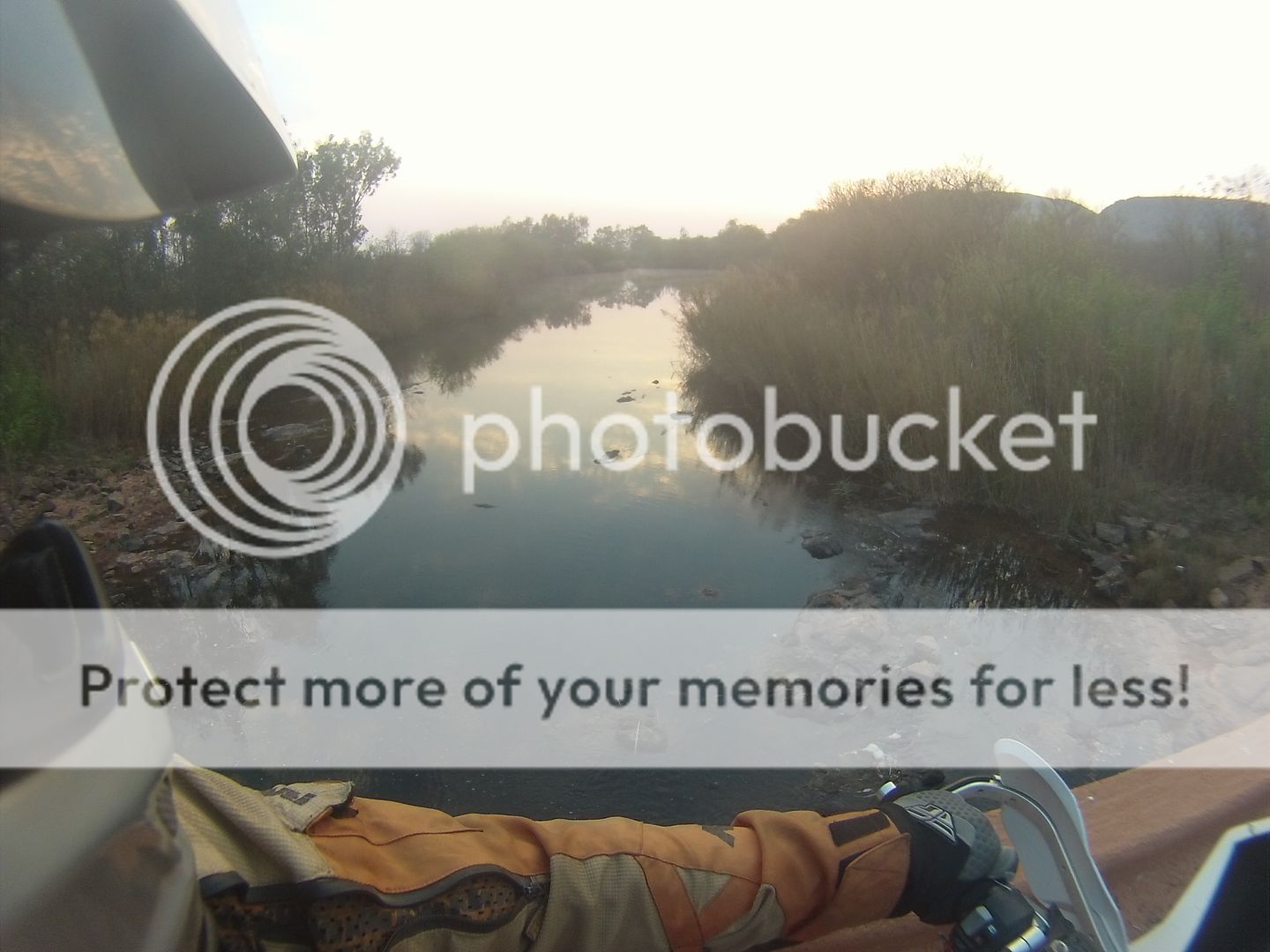
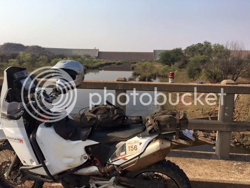
Wilge Rivier is lower than I’ve seen it
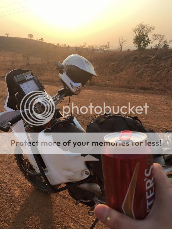
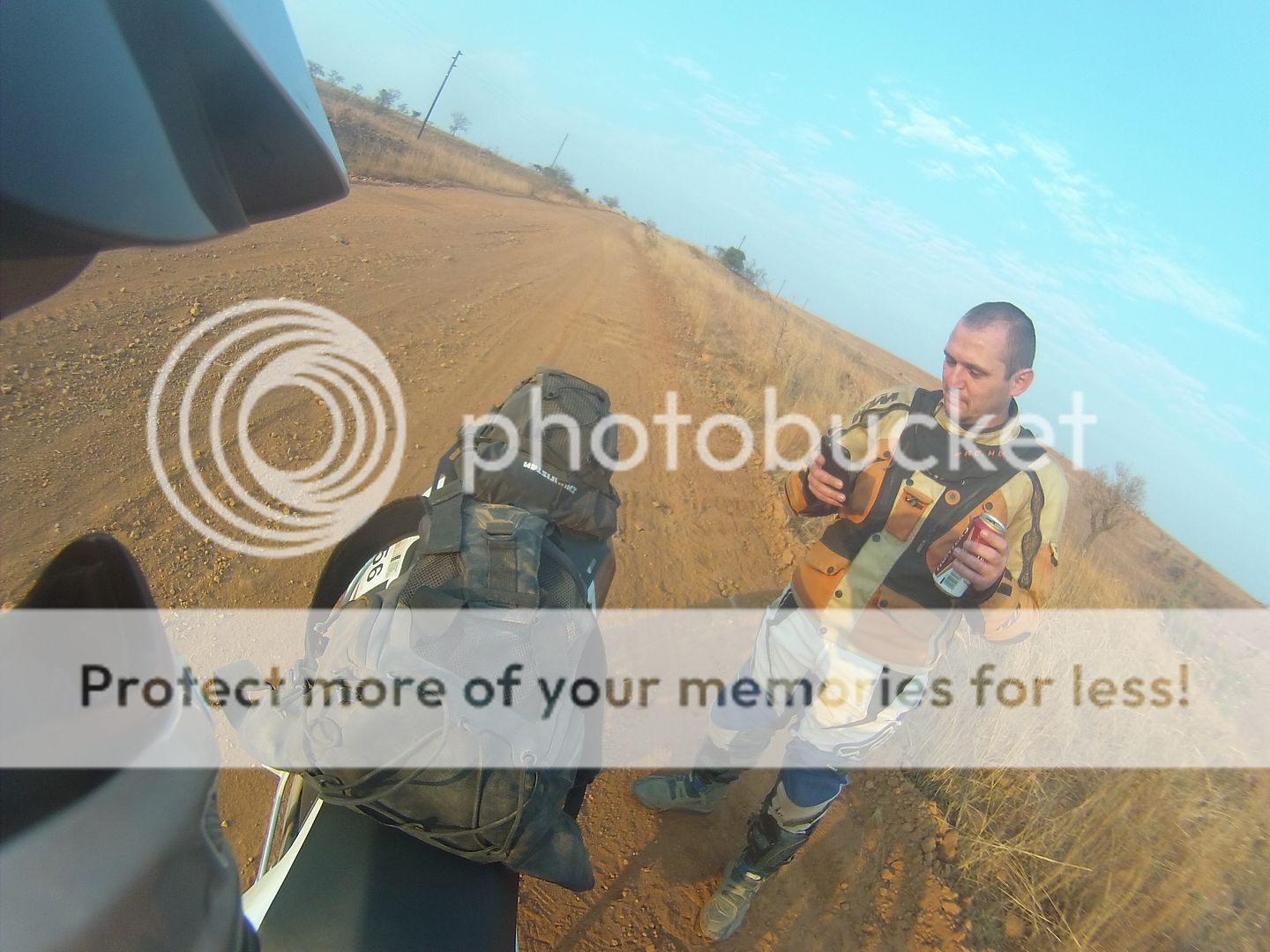
First refreshment stop.
Playing with the iOn Air wifi app
I rode the usual roads up to the tar road leading to Loskop. From here I decided I wanted to go sort of in the Lekgalameetse direction and set my GPS on Avoid Highways, Do Not Avoid Dirt Roads, Shortest Distance. This strategy has taken me to some really interesting and remote places in the past. I scanned for a town near Lekgalameetsi which seemed suitable for fuel and supplies and typed Trichardsdal into the GPS and off I went.
I haven’t been able to get the track log of my GPS yet and I really have no idea where I was for most of the day. To give a rough description, from the end of the dirt on the Loskop Stopad I took a left instead of right to Loskop. I must have passed Groblersdal and Marble hall to the west and from there things got pretty rural hitting a hand full of settlements starting with Ga-.
Some really nice sections between the orange farms close to Marble Hall.
Second refreshment stop somewhere east north east of Marble Hall.
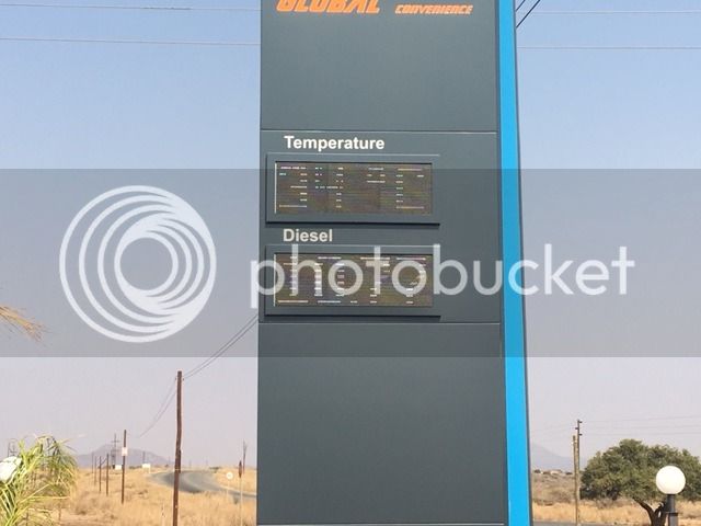
This was the temperature at 9am at Ga-something-or-other.
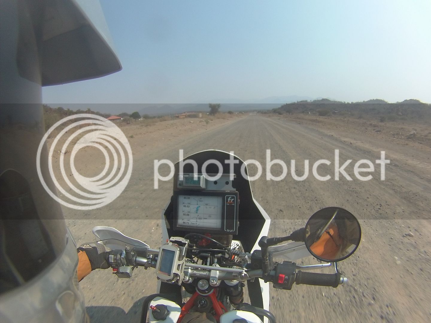
For once my GPS strategy did not work out so well as I rode quite a bit more tar than I would’ve liked but it was still rural and felt remote so still very enjoyable.
There was at least some dirt thrown in for good measure.
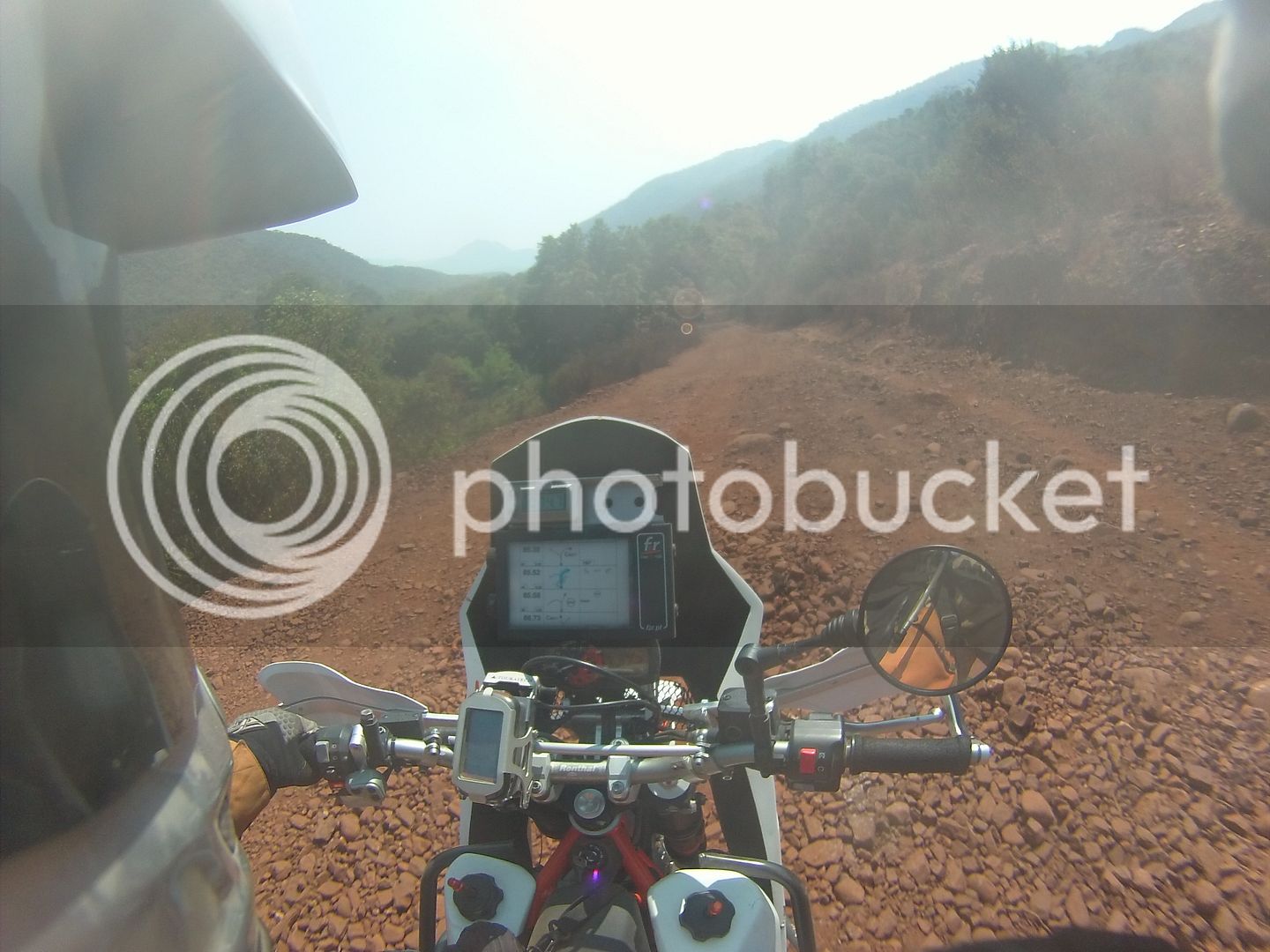
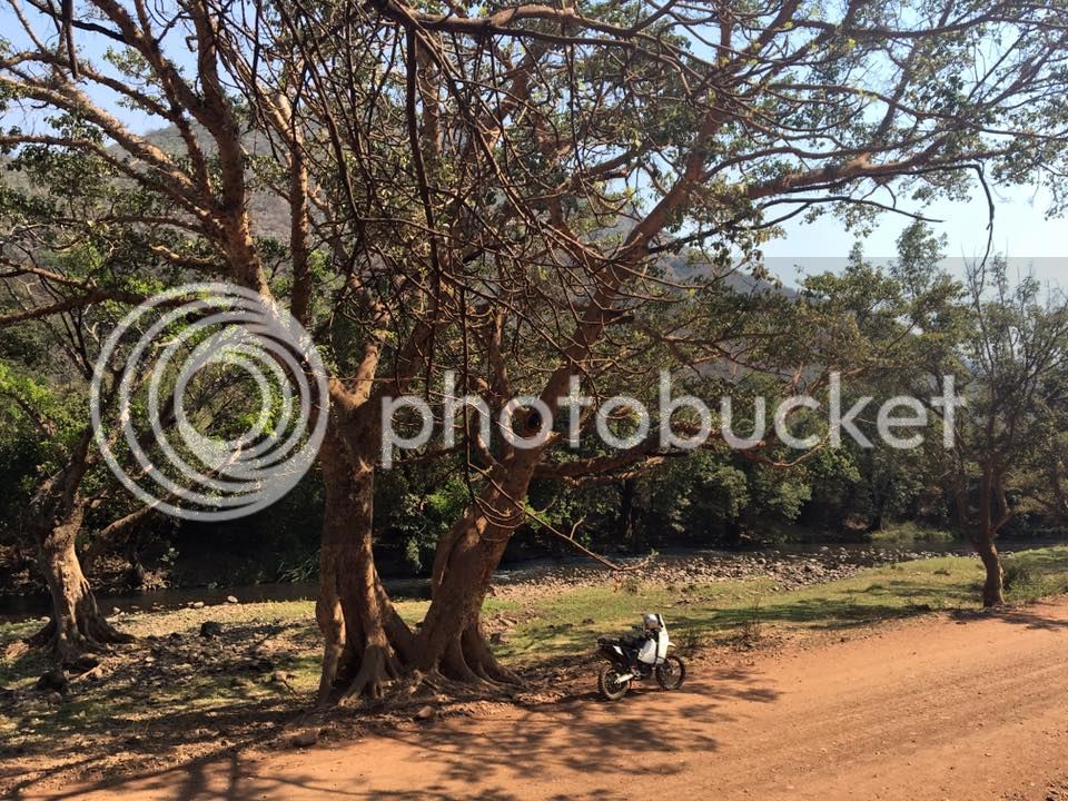
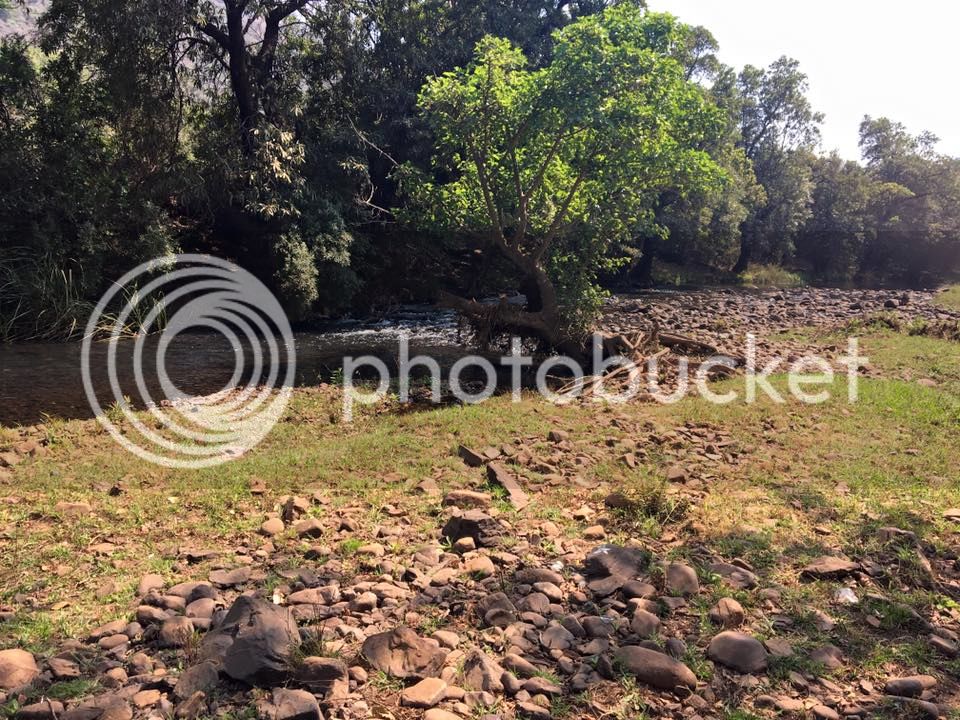
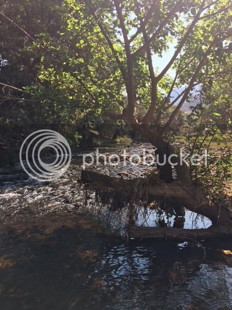
I eventually got to an awesome spot which after some research I think is in the Ga Mafefe area. I chilled next to the river a while and just took it all in.
Riding towards the spot.
Pics of the chill spot.
By now my GPS was just about to run out of battery life but I saw that Trichardsdal was around 60km away with only 1 turn 2 kms before town so I decided to give it a go. It was around 11 o’clock, I was out of water, I’d done around 360kms without refuelling and I hadn’t eaten all day so I was quite looking forward to get to Trichardsdal to replenish and plan the rest of the day.
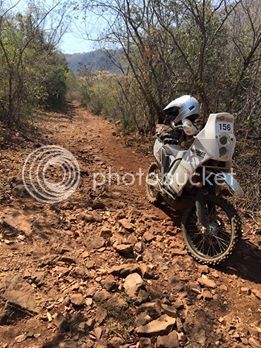
The next bit of riding was very scenic and took me through a place that I now know is called Fertilis. It must have been pension day because there were armoured cars and police cars and it looked like everyone from the region was there. I stopped and had a chat with a few people. People in these rural areas are always so friendly and welcoming. At this point my GPS ran out of battery power. I set off again and the next thing I knew I was on the start of the Orrie Baragwanath pass. WTF I need to get to Trichardsdal to get supplies!!!!!
Not to worry, GPS said not too far. And of course as that thought passed through my head my fuel light came on. I rode up a section of the pass and stopped to catch a breather. Rocks are not your friend if you’re fat and unfit.
Here is a video of a little section of the pass. Does anyone know how to upload better quality? I uploaded the HD version and youtube downscaled to 360p.
[flash=480,385]https://www.youtube.com/v/0oZ3W4OfFek[/flash]
By now it was easily well over 40 degrees and I was soaked in sweat and my camel back had been bone dry long before starting the pass. I made a call not to chance running out of fuel/dehydrating/getting raped by the baboons I could hear all around me and decided to head back down in search of fuel.
I ended up getting fuel at some random village house at R100 for 5 litres. I decided to backtrack to the last fuel station I saw to fill up. From here my bike started to run very rough and didn’t have power. Dodgy fuel…. I filled up at the fuel station and the bike wasn’t running any better so I decided to head for Potgietersrus and the N1 to try and nurse it home. It continued to run very rough and stalled a couple of times with the FI light coming on. I eventully did make it back home and did 749kms for the day. What a way to forget about the real world.
Note to self, GO BACK TO LIMPOPO AND PLAN PROPERLY
Filling up. If you can’t make out from the picture, the bike took over 22 litres and there was still around 3 litres left in the tank before filling. Awesome for heading out into the unknown.
I started riding just after 5am direction Bronkhorst spruit on the R25. Quite a scary road to do in the dark with quite a lot of traffic for that time of the morning.
The idea was to hit the first dirt at Zusterstoom at sunrise and it worked out perfectly. Last 500m of tar before the dirt starts.
Wilge Rivier is lower than I’ve seen it
First refreshment stop.
Playing with the iOn Air wifi app
I rode the usual roads up to the tar road leading to Loskop. From here I decided I wanted to go sort of in the Lekgalameetse direction and set my GPS on Avoid Highways, Do Not Avoid Dirt Roads, Shortest Distance. This strategy has taken me to some really interesting and remote places in the past. I scanned for a town near Lekgalameetsi which seemed suitable for fuel and supplies and typed Trichardsdal into the GPS and off I went.
I haven’t been able to get the track log of my GPS yet and I really have no idea where I was for most of the day. To give a rough description, from the end of the dirt on the Loskop Stopad I took a left instead of right to Loskop. I must have passed Groblersdal and Marble hall to the west and from there things got pretty rural hitting a hand full of settlements starting with Ga-.
Some really nice sections between the orange farms close to Marble Hall.
Second refreshment stop somewhere east north east of Marble Hall.
This was the temperature at 9am at Ga-something-or-other.
For once my GPS strategy did not work out so well as I rode quite a bit more tar than I would’ve liked but it was still rural and felt remote so still very enjoyable.
There was at least some dirt thrown in for good measure.
I eventually got to an awesome spot which after some research I think is in the Ga Mafefe area. I chilled next to the river a while and just took it all in.
Riding towards the spot.
Pics of the chill spot.
By now my GPS was just about to run out of battery life but I saw that Trichardsdal was around 60km away with only 1 turn 2 kms before town so I decided to give it a go. It was around 11 o’clock, I was out of water, I’d done around 360kms without refuelling and I hadn’t eaten all day so I was quite looking forward to get to Trichardsdal to replenish and plan the rest of the day.
The next bit of riding was very scenic and took me through a place that I now know is called Fertilis. It must have been pension day because there were armoured cars and police cars and it looked like everyone from the region was there. I stopped and had a chat with a few people. People in these rural areas are always so friendly and welcoming. At this point my GPS ran out of battery power. I set off again and the next thing I knew I was on the start of the Orrie Baragwanath pass. WTF I need to get to Trichardsdal to get supplies!!!!!
Not to worry, GPS said not too far. And of course as that thought passed through my head my fuel light came on. I rode up a section of the pass and stopped to catch a breather. Rocks are not your friend if you’re fat and unfit.
Here is a video of a little section of the pass. Does anyone know how to upload better quality? I uploaded the HD version and youtube downscaled to 360p.
[flash=480,385]https://www.youtube.com/v/0oZ3W4OfFek[/flash]
By now it was easily well over 40 degrees and I was soaked in sweat and my camel back had been bone dry long before starting the pass. I made a call not to chance running out of fuel/dehydrating/getting raped by the baboons I could hear all around me and decided to head back down in search of fuel.
I ended up getting fuel at some random village house at R100 for 5 litres. I decided to backtrack to the last fuel station I saw to fill up. From here my bike started to run very rough and didn’t have power. Dodgy fuel…. I filled up at the fuel station and the bike wasn’t running any better so I decided to head for Potgietersrus and the N1 to try and nurse it home. It continued to run very rough and stalled a couple of times with the FI light coming on. I eventully did make it back home and did 749kms for the day. What a way to forget about the real world.
Note to self, GO BACK TO LIMPOPO AND PLAN PROPERLY